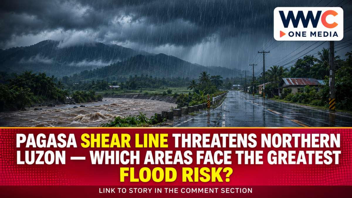
MANILA, Philippines — PAGASA warned on Saturday, Nov. 21, 2026, that a shear line continues to bring unsettled weather to several provinces in Northern and Central Luzon, with flash floods and landslides possible during heavier rainfall. Its 4 a.m. forecast placed Metro Manila under a separate outlook of partly cloudy to cloudy skies with isolated rain showers or thunderstorms.
The distinction matters for people planning travel, outdoor work and local disaster preparations. A nationwide weather report does not describe one uniform threat: different weather systems are affecting different places, and the severity of rainfall can change even within the same province.
PAGASA shear line: Where the main rainfall risk lies
PAGASA identified mainland Cagayan, Isabela, Nueva Vizcaya, Quirino, Aurora and Quezon as areas expecting cloudy skies with scattered rain and isolated thunderstorms because of the shear line. The agency warned that moderate to at times heavy rainfall could trigger flash floods or landslides.
That is a forecast of potential hazards, not a statement that every locality is flooded or that every mountain slope is unstable. People living near rivers, low-lying roads or steep terrain have more reason to watch local rainfall advisories closely, especially if showers persist.
The Nov. 20 weekly outlook had also included Rizal among shear-line areas for Nov. 21. However, the newer national forecast issued at 4 a.m. on Nov. 21 lists a narrower set of provinces. For immediate decisions, readers should prioritise the newest applicable local advisory rather than treating a previous forecast as a permanent warning.
The changing pattern also shows why it is important to distinguish this event from WWC’s earlier explanation of amihan and easterlies, which described a different weather situation earlier in November.
Amihan brings another rain concern to the north
The shear line is not the only weather influence in Luzon. PAGASA said the northeast monsoon, commonly called amihan, is affecting the rest of Northern Luzon.
Under the Nov. 21 forecast, Batanes, the Babuyan Islands, Apayao, Kalinga, Mountain Province and Ifugao could expect cloudy skies with rain. The agency also identified possible flash floods or landslides during moderate to at times heavy precipitation in those areas.
By contrast, the Ilocos Region and the remainder of the Cordillera Administrative Region were forecast to have partly cloudy to cloudy skies with isolated light rain, with no significant impact listed in the national forecast.
This division is essential. Describing all of Northern Luzon as facing the same level of rainfall would exaggerate the warning in some locations and obscure where closer monitoring is warranted.
Metro Manila forecast is different, but storms remain possible
For Metro Manila and areas not covered by the more specific regional forecasts, PAGASA expected partly cloudy to cloudy skies with isolated rain showers or thunderstorms linked to easterlies.
That is not the same as the scattered-rain outlook for the shear-line provinces. Nevertheless, PAGASA cautioned that severe thunderstorms could bring flash floods or landslides. A relatively bright morning therefore does not rule out a disruptive local downpour later in the day.
The practical issue is the location and intensity of rainfall, not simply whether a province appears on a broad weather map. Local advisories and conditions on the ground should guide decisions about journeys and activities.
Past flooding has already shown why early preparation matters. WWC has previously examined how local governments can prepare before storms, a useful preparedness perspective rather than evidence of new flooding from this shear line.
Rain also affects parts of Visayas and Mindanao
The Nov. 21 national outlook identified the intertropical convergence zone, or ITCZ, as the influence over Zamboanga Peninsula, SOCCSKSARGEN, the Bangsamoro Autonomous Region in Muslim Mindanao and Palawan. These areas were forecast to receive scattered rain and thunderstorms, with potential flash floods or landslides during moderate to heavy rain.
Easterlies were also expected to bring scattered rain and thunderstorms to Eastern Visayas, Catanduanes, Albay, Sorsogon, Masbate and the Dinagat Islands. Similar rainfall-related hazards remained possible.
These separate systems help explain why rain can occur across distant parts of the country at the same time without one single storm causing it all. WWC’s previous report on ITCZ-related rainfall in the Visayas and Mindanao provides context about that recurring type of weather risk, not a report of the current day’s impacts.
Why preparedness matters beyond the daily forecast
PAGASA’s Nov. 20 weekend agri-weather guidance advised communities to maintain canals, dikes and drainage lines so excess water can move away more quickly during heavy rain. It also recommended listening to authorities and local officials for updated instructions.
For households, a sensible response is to check the latest weather bulletin before travelling, avoid crossing flooded roads or waterways, and follow any evacuation instructions issued by the local government. Forecast hazards should not be confused with confirmed damage or displacement.
For farms and small businesses, timing matters as well. Prolonged rain can complicate movement, fieldwork and deliveries, while rainfall forecasts can guide decisions about protecting supplies and adjusting outdoor operations. These are possible disruptions, not verified losses from the Nov. 21 weather event.
The broader preparedness issue was also explored in WWC’s coverage of disaster-relief readiness. Preparing before a hazard develops is more useful than assuming every weather warning will produce the same outcome.
What happens next
PAGASA’s weekly outlook issued at noon on Nov. 20 projected shear-line rain over Cagayan Valley and Aurora on Nov. 22–23. For Nov. 24–25, it continued to identify Aurora and the rest of Cagayan Valley as areas under a shear-line outlook, while a shift toward easterlies was expected across the country on Nov. 26–27.
These are forecasts, not guarantees. The agency stated that significant changes would be reflected in updated daily forecasts and advisories. Residents should therefore consult new provincial rainfall warnings, local government notices and marine advisories before making safety-critical decisions.
Frequently asked questions
What is the PAGASA shear line forecast for Nov. 21, 2026?
PAGASA expected cloudy skies with scattered rain and isolated thunderstorms in mainland Cagayan, Isabela, Nueva Vizcaya, Quirino, Aurora and Quezon, with possible flash floods or landslides during heavier rain.
Is Metro Manila under the same shear line warning?
No. PAGASA’s 4 a.m. national forecast placed Metro Manila under an easterlies-related outlook of isolated showers or thunderstorms, while still warning about hazards from severe thunderstorms.
Does the forecast mean flooding has already happened?
No. The bulletin describes potential rainfall impacts. Actual flooding, damage or evacuations require separate, current confirmation from the responsible authorities.
Will Northern Luzon remain rainy next week?
The weekly outlook projected continued shear-line conditions in Cagayan Valley and Aurora through Nov. 24–25, followed by easterlies as the likely dominant weather influence nationally on Nov. 26–27. Later bulletins may change that outlook.