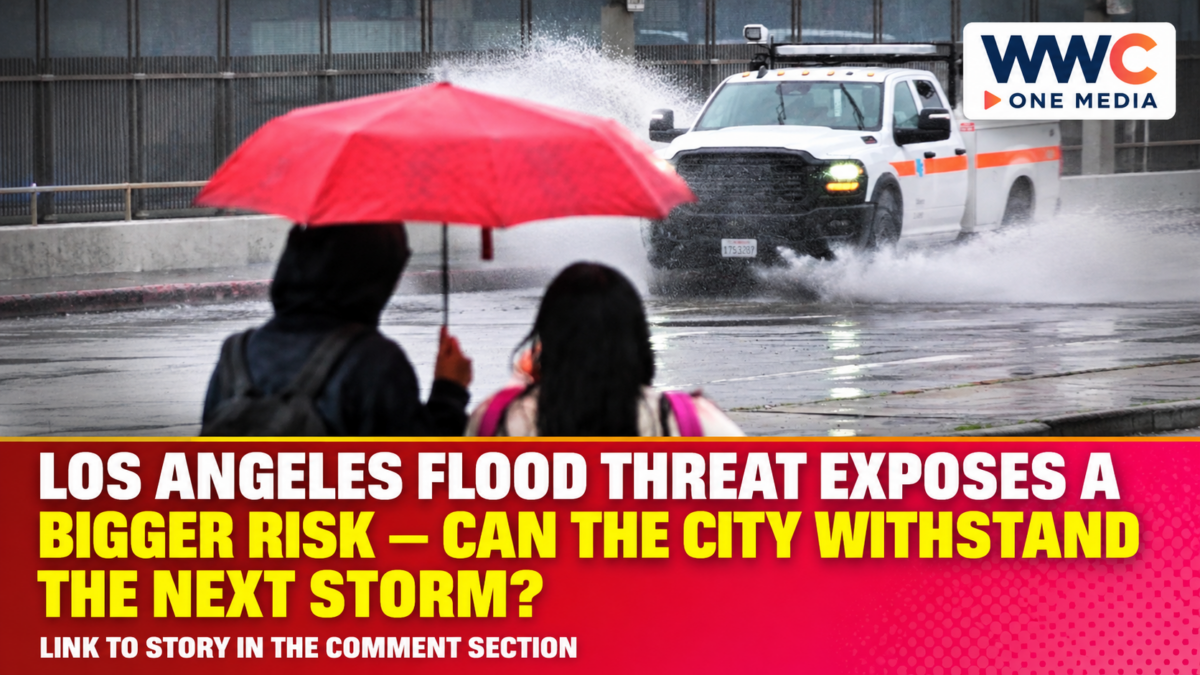
LOS ANGELES, United States — Nov. 21, 2026. A powerful spell of rain brought flash-flood warnings to parts of Los Angeles County on Nov. 19, while a new coastal warning schedule issued the following day signalled a different threat for the coming week. The Los Angeles flood threat now involves two distinct hazards: rapid flooding after intense rain and seawater reaching vulnerable shoreline locations during high tides and elevated surf.
An expired rain warning does not end all weather risks. Preparations may need to shift from inland drainage systems to low-lying coastal routes.
Los Angeles flood threat: What happened on Nov. 19?
On the morning of Nov. 19, the National Weather Service maintained flash-flood warnings for central and southern, northwestern, and west-central sections of Los Angeles County. The west-central warning included the Palisades burn scar, a reminder that recently burned terrain requires particular attention when heavy rain arrives.
A preliminary local storm report also recorded flooding on streets in the San Fernando Valley. At Balboa Boulevard and San Fernando Mission Boulevard, the report described significant flooding and a stalled trash truck. It separately recorded flooding around Whitsett Avenue and Raymer Street near Van Nuys.
These localised reports do not mean the whole metropolitan area was flooded.
By 10:48 a.m. Pacific time on Nov. 19, the weather service cancelled a flood advisory for western Los Angeles County after the heavy rain ended there. The agency nevertheless said a broader flood watch remained in effect at that point. Different alert types and expiry times matter.
Why coastal flooding remains a separate concern
On Nov. 20, the weather service issued a coastal flood advisory for the Malibu coast and Los Angeles County beaches from 3 a.m. Monday, Nov. 23, until 3 a.m. Wednesday, Nov. 25, Pacific time. It also issued a coastal flood watch from late Tuesday night through Thursday afternoon, Nov. 26.
The bulletin identified west-facing beaches between Santa Monica and Palos Verdes as particularly exposed. It also singled out the Long Beach and Naples area as susceptible to unusually high water levels.
The advisory concerned moderate coastal flooding, while the watch indicated that significant flooding was possible. Neither term guarantees flooding at a specific address. The weather service highlighted Wednesday and Thursday as the period with the greatest potential for impacts.
High surf and high tides can combine to push seawater into locations that do not usually flood in ordinary weather. The bulletin warned of possible flooding at low-lying beaches, roads and structures, alongside beach erosion and dangerous conditions for people near the water.
What El Niño explains — and what it does not
The wider climate backdrop is El Niño. In its Nov. 12 climate discussion, the US Climate Prediction Center maintained an El Niño Advisory and said the event continued to strengthen. It assessed a greater than 79% chance of strong-to-very-strong conditions lasting through January–March 2027.
El Niño describes a recurring pattern involving unusually warm water in the equatorial Pacific and changes in atmospheric circulation. It can shift the odds of seasonal weather patterns, including precipitation in parts of the United States.
But a seasonal signal is not proof that a single flood or wave event was caused by El Niño alone. The climate agency itself cautioned that even a very strong event does not guarantee the expected regional impacts. The defensible conclusion is that El Niño shapes the broader risk environment while individual weather systems, tides and local geography determine immediate hazards.
The distinction also matters in Philippine weather coverage. WWC’s earlier explanation of rainfall and flood risks under changing weather patterns discusses why a seasonal outlook should never replace local warnings.
Why the economic disruption can outlast the rain
Analysis: Even without a verified countywide damage estimate, the public warnings show clear ways that flooding can affect daily economic activity. A flooded road may delay employees, deliveries and emergency vehicles. Beach erosion or restricted waterfront access can interrupt business activity even when inland rainfall has stopped.
Access matters too: roads and waterfront paths can become unusable without widespread structural damage. The coastal bulletin warned of possible road closures.
For the Philippines, there is a useful parallel rather than a direct equivalence. WWC has examined how watershed conditions influence downstream flooding in Cebu and why flood-management plans require continuing review. In each case, local exposure shapes the consequences.
This is analysis of potential exposure, not an estimate of actual Los Angeles losses. No verified total for property damage, business interruption or insured claims is established by the records reviewed for this report.
What residents and travellers should do
Los Angeles County’s emergency guidance recommends checking local emergency notifications, identifying flood-prone areas and avoiding travel through moving water. Residents can register for Alert LA County or the alert system operated by their own city.
The county also advises people to stay away from flood-control channels and riverbeds, which can become dangerous quickly. Its rain-preparedness guidance notes that standard homeowners’ insurance generally excludes flood damage and that separate flood insurance can require advance planning.
Along the coast, the weather service advises protecting flood-prone property, respecting barricades and avoiding hazardous surf. Such precautions matter beyond inland flood-warning zones.
What happens next
The key dates in the Nov. 20 coastal bulletin are Nov. 23–26, with the greatest concern identified for Wednesday and Thursday. Forecasts and warning boundaries can change, so those dates should be treated as the schedule in that issued bulletin, not a permanent prediction.
The next test will be whether high water and surf translate into flooded access routes, erosion or property impacts at the locations already identified as vulnerable. Until observations become available, the responsible distinction is between possible impacts and confirmed damage.