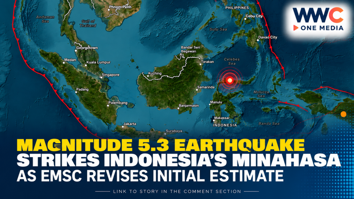
A magnitude 5.3 earthquake struck Indonesia’s Minahasa region on Monday, October 12, according to the European-Mediterranean Seismological Centre (EMSC).
The seismic agency initially estimated the quake’s magnitude at 5.8 before revising it down to 5.3. The earthquake occurred at a depth of approximately 104 kilometres, according to EMSC.
The revised magnitude and recorded depth provide the latest assessment of the tremor, although earthquake estimates can change as monitoring agencies analyse additional data.
Indonesia is located in a seismically active part of the world, where movements between tectonic plates frequently generate earthquakes. The impact of any individual tremor depends on factors including its depth, location and distance from populated areas.
Further details on the extent of shaking, potential damage or casualties were not provided in the initial report.
Authorities and monitoring agencies may issue updated information as more data becomes available.