
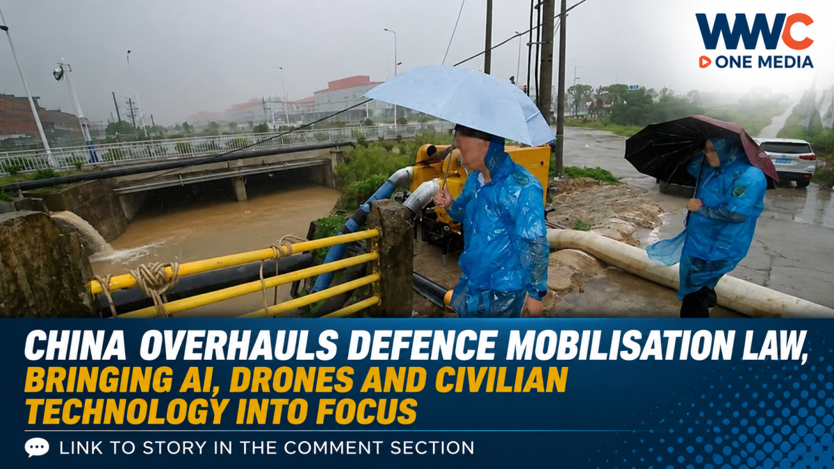
China is facing another round of dangerous weather as Typhoon Saudel has unexpectedly re-intensified over the South China Sea after already making landfall in eastern China last week.
Parts of eastern and southern China are preparing for heavy to torrential rain, flooding, landslides and mudslides over the next several days, while authorities are closely watching the storm’s unusual second development.
The storm’s revival is particularly unusual because Saudel had already crossed mainland China, weakened and was officially declassified before its remnants reorganised over the South China Sea.
Saudel strengthens again after crossing China
Saudel initially made two landfalls in Zhejiang province on August 28, striking Taizhou at about 8:05 a.m. and Wenzhou roughly an hour later, according to Reuters. It was the third typhoon to hit Zhejiang this year.
After moving inland, the system weakened. China’s National Meteorological Centre stopped issuing advisories on Saudel on Sunday.
But the storm’s remnants subsequently moved back toward the South China Sea.
By early Tuesday, September 1, the remaining circulation had reorganised and strengthened again, prompting Chinese meteorological authorities to continue using the name Saudel and its original designation.
China Daily reported that at 5 a.m. Tuesday, Saudel’s centre was approximately 480 kilometres southwest of Shanwei, Guangdong, with maximum sustained winds near its centre of about 18 metres per second and central pressure of 995 hPa.
An unusual track
The storm’s development has attracted attention because of its unusual trajectory.
Saudel first approached China’s eastern coast, made landfall in Zhejiang, crossed the mainland and weakened—only to re-emerge over the South China Sea and strengthen again.
The South China Morning Post described the path as “unprecedented” as the storm once again threatened areas across China’s east and south.
Meteorological authorities expect the system to move generally east-northeastward while maintaining significant strength in the near term. China’s National Meteorological Centre warned that parts of the region could experience substantial rainfall and strong winds.
Heavy rain is the biggest threat
The immediate concern is not simply the storm’s wind speed.
The combination of Saudel, the monsoon trough and colder air is expected to produce widespread heavy rainfall from September 1 to 3.
China’s meteorological authorities forecast heavy to torrential rain in parts of Jiangnan, eastern and southern South China, with some locations potentially experiencing exceptionally intense rainfall.
Areas identified as potentially affected include parts of:
- Fujian
- Zhejiang
- Guangdong
- Jiangxi
- Hainan
- Yunnan
- Taiwan
Some locations could see extremely heavy rainfall, while short-duration intense rain and thunderstorms may create additional risks.
That raises the potential for flash flooding, landslides and mudslides, particularly in vulnerable mountainous and low-lying areas.
Airports are also being watched
The storm’s return could complicate air travel across parts of southern and eastern China.
Aviation data platform VariFlight identified several airports that could potentially be affected, including:
Guangzhou Baiyun, Shenzhen Bao’an, Zhuhai Jinwan, Xiamen Gaoqi, Fuzhou Changle, Wenzhou Longwan, Ningbo Lishe and Hong Kong International Airport.
As of the SCMP’s September 1 update, however, no large-scale flight cancellations had been announced.
That distinction is important: travellers may face weather-related disruptions, but it would be inaccurate to claim that widespread cancellations have already occurred.
Hong Kong is also watching the storm
Hong Kong has already taken precautions.
The Hong Kong Observatory has issued Standby Signal No. 1, with Saudel passing more than 200 kilometres southeast of the city on Tuesday afternoon.
Forecasters said the storm could move closer to the coast of eastern Guangdong and gradually intensify, potentially strengthening winds around Hong Kong later in the week depending on its eventual track and intensity.
The Observatory has warned residents to remain alert to changing conditions, particularly because the storm’s movement and intensity remain uncertain.
Guangdong orders fishing vessels back to port
Authorities in Guangdong have also moved to reduce risks at sea.
All fishing vessels operating offshore in the province were ordered to return to shelters, while workers on offshore engineering facilities were told to evacuate.
The measures reflect concern that the storm could strengthen while travelling across the South China Sea.
The storm follows an unusually active period
Saudel’s revival comes after a particularly active period of tropical weather in the region.
Before Saudel approached China’s eastern coast, it passed over parts of Japan’s southwestern islands, producing strong winds, heavy rainfall, power outages and widespread flight cancellations.
At the same time, Typhoon Narra had affected southern China, while several tropical systems were active simultaneously across the Northwest Pacific and South China Sea. Reuters described the situation as an unusual grouping of four concurrent storms.
What happens next?
The biggest uncertainty is Saudel’s future intensity and exact path.
Chinese meteorological authorities expect the storm to move toward the northeastern South China Sea, while Hong Kong forecasters say uncertainty remains over how close it will come to the Pearl River Estuary and how strong its winds will become.
For residents and travellers across southern and eastern China, the immediate priority is therefore the same: monitor official weather warnings, prepare for heavy rain and avoid assuming that the storm has weakened simply because it previously crossed land.
Saudel already made landfall once.
Now, after an unusual return over the sea, China is watching to see where the storm goes next.
WWC ONE MEDIA J.M.D



Leave a Reply