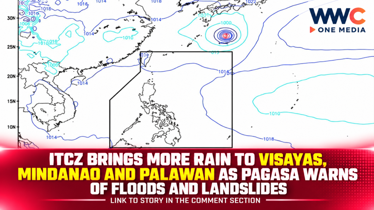
The Intertropical Convergence Zone is bringing widespread rain and thunderstorms to parts of the Visayas, Mindanao and Palawan on Tuesday, with PAGASA warning that moderate to at times heavy rainfall could trigger flash floods and landslides.
PAGASA said the ITCZ is affecting Palawan, the Visayas and Mindanao, with Central Visayas, the Negros Island Region, Zamboanga Peninsula, Northern Mindanao, Caraga and Palawan expected to experience cloudy skies with scattered rains and thunderstorms.
The rest of the Visayas and Mindanao may see partly cloudy to cloudy conditions with isolated rain showers or thunderstorms. Metro Manila and the rest of Luzon are also expected to experience partly cloudy to cloudy skies, with isolated thunderstorms linked mainly to localized weather conditions.
PAGASA warned that severe thunderstorms could produce flash floods and landslides, particularly in areas where rainfall becomes moderate to heavy. Communities in flood-prone and landslide-prone locations have therefore been advised to remain alert to changing weather conditions.
The weather bureau’s weekly outlook indicates that the ITCZ will continue affecting much of the Visayas as well as Caraga, Northern Mindanao and other parts of Mindanao around Sept. 29. Another weather disturbance outside the Philippine Area of Responsibility could also contribute to more rain over parts of the Visayas and Mindanao later in the week.
The latest forecast comes after several days of unsettled weather associated with the ITCZ. Earlier forecasts also identified portions of the Negros Island Region, Central Visayas, Zamboanga Peninsula, Northern Mindanao, Caraga and Palawan as areas vulnerable to scattered rains and thunderstorms.
The rainfall could create additional risks for communities still dealing with saturated ground and vulnerable drainage systems. Even areas that do not experience continuous rain can face sudden flooding when intense thunderstorms develop over a short period.
Sea conditions are expected to remain generally slight to moderate, with forecast wave heights of about 0.6 to 1.5 metres around the affected regions and elsewhere in the country, depending on location.
Residents are being urged to monitor official weather bulletins, particularly when thunderstorms become intense or persistent. Local authorities may also need to respond quickly if rainfall causes waterways to rise or triggers landslides in elevated areas.
For now, the ITCZ remains the main weather system affecting large portions of the central and southern Philippines. With additional rain possible through the week, the immediate concern is not only the amount of rainfall but also the potential for sudden flooding and landslides in vulnerable communities.