
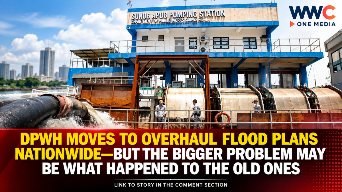
MANILA, Philippines — The Department of Public Works and Highways (DPWH) is moving to update the country’s flood-management master plans as the government confronts increasingly severe flooding, changing climate conditions and decades-old infrastructure strategies.
Public Works Secretary Vince Dizon has directed the department to update flood-management frameworks covering the country’s 18 major river basins and other critical waterways, with the goal of ensuring that future flood-control projects are based on current scientific data, hazard maps and local conditions.
The initiative comes as the government faces renewed scrutiny over the country’s long history of flood-control planning—and why several plans developed over the decades were never fully implemented.
No single national flood-control blueprint yet
Despite the push for a nationwide response, DPWH has clarified that the country does not currently have one consolidated national flood-control master plan.
During a House budget hearing in August, Dizon said the department’s strategy is to develop and update master plans based on individual major river basins and localities rather than impose a single engineering solution across the entire country.
All 18 major river basins already have flood-control plans, but 14 were still being updated, with foreign consultants expected to assist in completing the work by 2027, according to GMA News.
The approach reflects the reality that flooding differs significantly from one area to another. River systems, terrain, drainage capacity, urban development and rainfall patterns can vary dramatically, meaning a measure that works in one basin may not necessarily work elsewhere.
The Presidential Communications Office has likewise said the administration is pursuing a holistic river-basin approach, while keeping open the possibility of a broader national framework.
Science and climate data to play a bigger role
The updated plans are expected to incorporate more recent hazard information, climate projections, urban expansion and detailed flood mapping.
DPWH is working with the University of the Philippines Project NOAH, local government units and other agencies to strengthen the scientific basis of the plans. Daily Tribune reported that international partners, including the Asian Development Bank and Japan International Cooperation Agency, are also involved in updating various flood-management frameworks.
UP Resilience Institute Executive Director Mahar Lagmay has emphasized that the country has identified flood-prone areas in urban planning documents for decades, but implementation and adherence to those plans have often fallen short.
Lagmay cited historical plans for Quezon City and Cebu City dating back to the 1930s and 1940s, noting that some areas originally envisioned as green spaces or areas that could help manage flooding were eventually developed. Project NOAH is now being consulted to provide updated hazard, flood and drainage information for planning.
Metro Manila among the biggest priorities
Metro Manila remains one of the most urgent areas for flood mitigation.
Under the government’s current strategy, the Pasig-Marikina-Laguna de Bay river basin is receiving particular attention. DPWH is working with international partners on a comprehensive framework that includes a combination of river improvements, retention and flood-control measures.
Daily Tribune reported that proposed measures include flow-through dams, retarding basins, underground retention channels and dredging work, alongside ongoing implementation of the Pasig-Marikina River Channel Improvement Project.
Separately, the Metropolitan Manila Development Authority has identified priority sites for its Sponge City initiative, designed to temporarily capture and store rainwater before drainage systems and waterways become overwhelmed.
The MMDA has completed feasibility studies for 39 proposed catchment and nature-based flood-mitigation sites across Metro Manila, with five initially identified as priorities. The agency has said the projects are intended to reduce flooding—not eliminate it entirely.
Older flood-control plans are back under scrutiny
The current review also revives questions about previous flood-control master plans.
The Palace has said DPWH is considering the Aquino-Singson Master Plan, a long-term flood-management framework approved in 2012 during the administration of former President Benigno Aquino III.
The plan was estimated at about P351 billion and envisioned large-scale flood-control infrastructure, but it was not fully carried out.
Palace officials have said the older framework could be reviewed and potentially integrated with other flood-management plans—but it must also be updated to reflect the effects of climate change and today’s conditions.
This is significant because President Ferdinand Marcos Jr. has repeatedly raised the issue of longstanding flood-control plans that were not fully implemented.
The administration’s challenge now is not simply to produce another blueprint, but to ensure that plans are actually funded, coordinated and carried out over the long term.
From flood projects to a basin-wide strategy
Dizon has also outlined a shift in engineering priorities.
Instead of relying primarily on downstream structures such as additional dikes and revetments, DPWH said it is looking more closely at upstream interventions and retarding basins that can slow or temporarily hold water before it reaches heavily populated areas.
The strategy is intended to move flood management away from isolated, short-term projects and toward coordinated systems designed around entire river basins.
That distinction could become critical as extreme rainfall becomes a greater challenge.
The real test comes after the plans are finished
Updating the master plans is only the first step.
The government will still have to determine which projects receive funding, how agencies and local governments coordinate implementation, and whether projects remain consistent as cities expand and climate conditions change.
For Filipinos living in flood-prone communities, the ultimate question is therefore not simply whether the government has a flood-control master plan.
It is whether the new plans will finally translate into infrastructure and land-use decisions that remain in place long enough to make a measurable difference.
And that may be the biggest test of the government’s latest flood-control push.
WWC ONE MEDIA J.M.S




Leave a Reply