
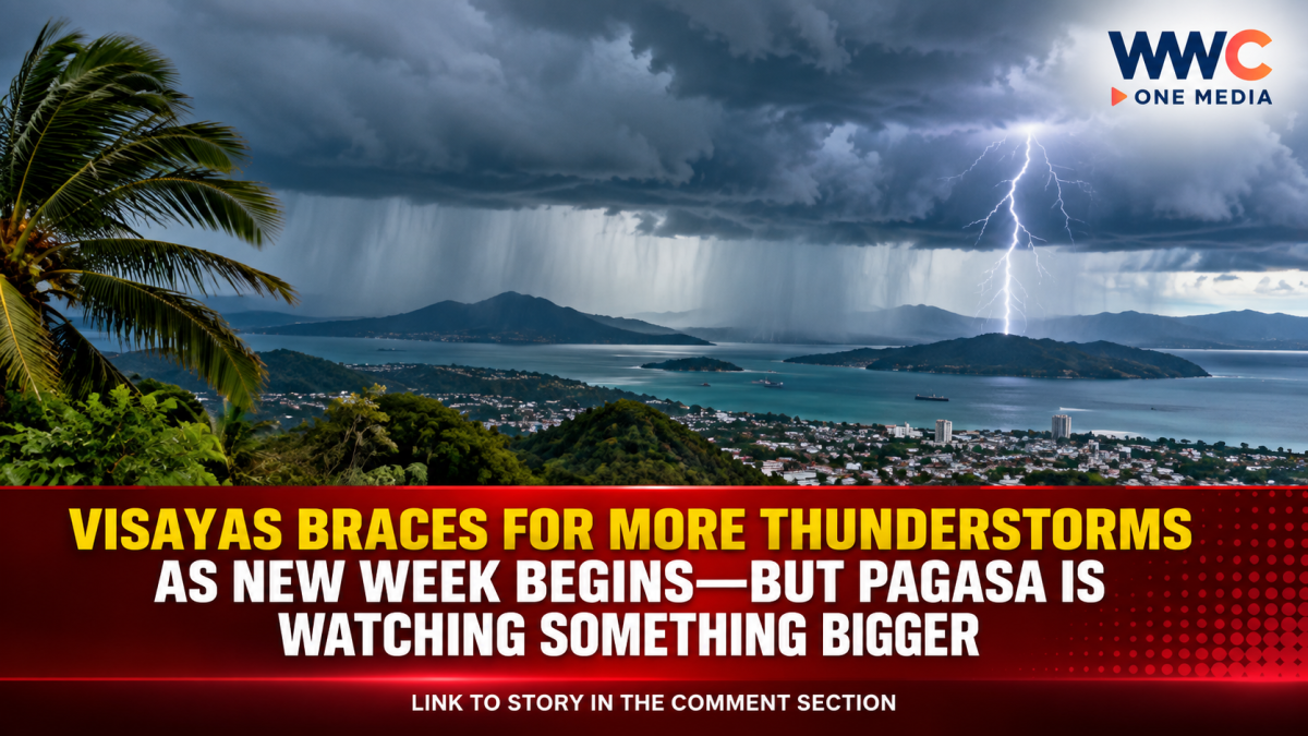
CEBU CITY, Philippines — Residents across the Visayas are being urged to stay alert for sudden rain showers and thunderstorms as the new week begins, with PAGASA forecasting generally cloudy conditions and isolated thunderstorms across much of the region.
The weather outlook comes as the southwest monsoon, or Habagat, continues to influence parts of the country, while atmospheric conditions are expected to keep bringing rain-producing thunderstorms to several areas.
According to the Philippine Atmospheric, Geophysical and Astronomical Services Administration (PAGASA), the rest of the country may experience partly cloudy to cloudy skies with isolated rain showers or thunderstorms, while more persistent scattered rains and thunderstorms are expected in Western Visayas and Northern Samar through September 13.
Thunderstorms may develop suddenly
The forecast means that sunny or partly cloudy conditions do not necessarily rule out sudden downpours.
Localized thunderstorms can develop rapidly, potentially bringing heavy rain, lightning and gusty winds over affected communities.
PAGASA has repeatedly warned that severe thunderstorms may trigger flash floods and landslides, particularly in areas that receive intense rainfall over a short period.
Recent PAGASA regional forecasts for the Visayas have likewise recorded thunderstorm activity across several provinces, with advisories warning of moderate to heavy rain, lightning and strong winds in affected areas.
For commuters, motorists, farmers and residents in flood-prone communities, the sudden nature of these thunderstorms means weather conditions can change considerably within a short period.
Western Visayas and Northern Samar remain wetter
PAGASA’s latest weekly outlook indicates that Western Visayas and Northern Samar are among the areas expected to experience scattered rains and thunderstorms through Sunday, September 13. Other parts of the country are generally expected to see isolated rain showers or thunderstorms.
This follows recent weather patterns in which the Habagat brought rain to portions of the Visayas.
Earlier forecasts also showed the rest of the Visayas experiencing partly cloudy to cloudy skies with isolated rain showers or thunderstorms, with PAGASA warning of possible flooding and landslides during severe thunderstorms.
Possible LPA adds another weather concern
The weather situation could become more complicated later in the week.
PAGASA’s September 11–18 weekly outlook says a possible low-pressure area (LPA) may emerge over the eastern section of Luzon on September 14–15.
The agency said the LPA’s trough could produce cloudy skies with scattered rains and thunderstorms over Bicol Region, Northern Samar and Quezon.
Meanwhile, Metro Manila and the rest of the country are expected to have partly cloudy to cloudy skies with isolated rain showers or thunderstorms during the same period.
Importantly, this forecast does not mean that a tropical cyclone has already formed. The development and eventual track of any LPA would need to be monitored through succeeding PAGASA bulletins.
More rain could return later in the week
PAGASA’s extended outlook also indicates that the weather pattern may remain unsettled beyond Monday and Tuesday.
From September 16 to 18, the southwest monsoon is forecast to prevail over the western sections of Visayas and Mindanao, potentially producing scattered rains and thunderstorms over Western Visayas and the Negros Island Region, among other areas.
That means residents should not assume that a brief improvement in weather will signal the end of the rainy conditions.
What residents should watch for
Residents in vulnerable communities are advised to monitor official PAGASA updates, particularly when thunderstorms are developing nearby.
During thunderstorms, people should take precautions against:
- Lightning strikes
- Sudden heavy rainfall
- Strong or gusty winds
- Flash floods
- Landslides in vulnerable areas
- Dangerous travel conditions
Motorists should also be prepared for sudden reductions in visibility and slippery roads when heavy rain develops.
For communities near rivers, creeks and low-lying areas, even a short but intense thunderstorm can cause water levels to rise quickly.
The bigger picture
The latest forecast shows that the weather story for the Visayas is not simply about isolated thunderstorms.
The region remains influenced by a combination of seasonal monsoon activity and localized atmospheric conditions, while PAGASA is also watching the potential development of an LPA that could influence weather farther east.
The agency emphasizes that its weekly outlook can change as new observations become available and that residents should continue checking the latest 24-hour forecasts, thunderstorm advisories and other weather bulletins.
For now, the message for the Visayas is straightforward: expect generally unsettled weather, keep an umbrella nearby, and stay alert when dark clouds and thunderstorms develop.
And with another potential weather disturbance being monitored, the coming days could bring more changes to the forecast.




Leave a Reply