
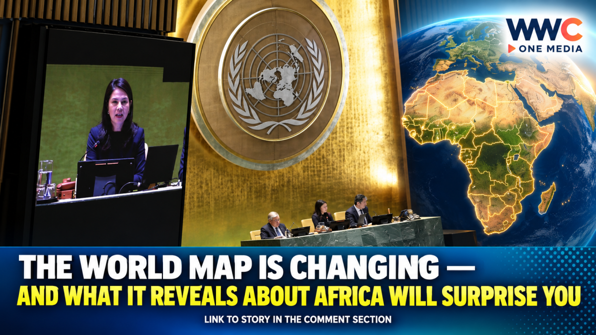
NEW YORK — The world may look very different on future classroom walls, digital platforms and official documents after the United Nations General Assembly overwhelmingly backed a new approach to world maps that more accurately represents the true size of Africa and other landmasses.
In a landmark vote on September 4, the UN General Assembly endorsed the Equal Earth projection, supporting efforts to move away from the centuries-old Mercator map that has long distorted the relative size of continents.
The resolution passed with 164 countries voting in favor, while the United States was the only country to vote against it. Six countries abstained: Estonia, Georgia, Lithuania, Moldova, Serbia and Ukraine.
The measure does not ban the Mercator projection or legally require countries to replace existing maps. Instead, it encourages governments, international institutions, schools, media organizations and technology companies to adopt map projections that portray the relative size of continents more accurately.
Why Africa Looks Smaller on Traditional World Maps
The Mercator projection was created in 1569 by Flemish cartographer Gerardus Mercator and was designed primarily to help sailors navigate the oceans.
For navigation, the projection proved enormously useful. But there was a major trade-off: it dramatically distorts the size of landmasses, particularly those farther away from the equator.
As a result, regions such as Greenland, Europe and North America can appear much larger than they really are, while Africa, South America and other regions closer to the equator appear comparatively smaller.
One of the most striking examples is Africa and Greenland.
On a traditional Mercator map, Greenland can appear almost comparable in size to Africa. In reality, Africa is about 14 times larger than Greenland. Africa covers roughly 30.3 million square kilometers, making it large enough to contain the United States, China, India and much of Europe combined.
That visual distortion, advocates argue, has shaped how generations of people understand the world’s geography.
UN Backs the Equal Earth Projection
The UN-backed initiative promotes the Equal Earth projection, a modern map design introduced in 2018 that seeks to preserve the relative areas of continents and countries more faithfully.
Under the Equal Earth projection, Africa appears significantly larger than on the traditional Mercator map, while North America, Europe and Greenland appear closer to their actual proportions.
The map is still a projection of a three-dimensional globe onto a flat surface, meaning that some distortion is unavoidable. No flat world map can perfectly preserve every aspect of geography, including size, shape, distance and direction at the same time.
The key difference is that the Equal Earth projection prioritizes a more accurate representation of relative land area.
An African-Led Campaign to ‘Correct the Map’
The resolution was spearheaded by Togo and strongly supported by African countries and the African Union as part of a wider push to challenge what campaigners describe as outdated geographical representations.
Togo’s Foreign Minister Robert Dussey argued before the vote that maps do more than show physical geography — they influence education, imagination and collective perceptions.
Supporters say the issue is therefore not simply about cartography.
They argue that generations of students have grown up looking at maps that visually shrink Africa and other regions of the Global South while enlarging wealthier countries in the Northern Hemisphere.
The campaign behind the change has called for more accurate maps to appear not only in schools and textbooks but also in newsrooms, businesses and the digital platforms used by billions of people.
Why the US Voted No
The United States was the sole country to vote against the resolution.
According to reports from multiple international news organizations, Washington criticized the initiative as ideological and questioned whether the issue should be a priority for the international community.
The vote also drew attention because the resolution passed with overwhelming international support despite the US opposition.
Ukraine was among the six countries that abstained, citing concerns over how certain territorial issues are represented in the Equal Earth projection.
What Happens to the Mercator Map Now?
Despite headlines suggesting that the UN has completely replaced the world’s maps, the reality is more nuanced.
The Mercator projection is not disappearing overnight.
The UN resolution does not outlaw it, and the Mercator projection remains useful for certain specialized purposes, particularly maritime navigation.
Instead, the resolution encourages wider use of projections such as Equal Earth when the goal is to show the world’s landmasses in more accurate relative proportions.
This means the most significant changes could eventually be seen in:
- School textbooks and classrooms
- Government publications
- International organizations
- News and media graphics
- Educational materials
- Digital mapping and technology platforms
Whether the Equal Earth projection becomes the dominant global standard will depend on how governments, educators, publishers and technology companies respond in the years ahead.
More Than a Map: Why the Debate Matters
For supporters, the UN vote is about more than making Africa look bigger.
They argue it is about correcting a representation of the world that has influenced education and public perception for centuries.
The Mercator projection was never designed to accurately compare the size of continents. Its original purpose was navigation. Yet it eventually became one of the most familiar ways the world was presented in classrooms, offices and media.
The Equal Earth initiative asks a simple but politically and culturally powerful question:
If maps shape how people see the world, what happens when the world they have been shown is geographically distorted?
The UN’s overwhelming vote suggests that a growing number of countries believe the answer is worth putting on the map.
And while the resolution cannot force the world to replace its old maps, it may have already started a much bigger conversation about who gets accurately represented — and who has been visually diminished for generations.
The map may not change the planet itself. But for millions of people looking at the world, it could change the way they see it.
WWC ONE MEDIA J.M.S

Leave a Reply