
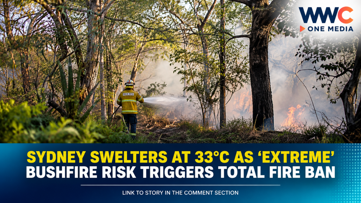
Sydney is facing an unusually dangerous start to spring, with temperatures forecast to reach 33°C on Saturday, September 5, nearly 13°C above the September average, as hot, dry conditions and strong winds sharply raise the threat of bushfires.
Authorities have responded with a Total Fire Ban across the Greater Sydney Region, where the official fire-danger rating has reached Extreme—the second-highest level under Australia’s fire danger system.
Why Sydney is suddenly at high risk
The heat is arriving unusually early in the Australian spring. The Bureau of Meteorology forecast Sydney temperatures around 32–33°C, while northwesterly winds were expected to strengthen significantly during the day.
At Sydney Airport, temperatures had already climbed to 28.6°C by 11:30 a.m., more than seven degrees above the September mean maximum, according to Reuters.
ABC meteorologists likewise reported that most Sydney suburbs could reach 32–33°C, potentially challenging the city’s record for the first week of September.
The combination is particularly concerning: heat + dry vegetation + strong winds can allow a fire to spread rapidly and make containment much more difficult.
Under an Extreme fire-danger rating, NSW authorities warn that a fire can become fast-moving and dangerous, threatening lives and property.
What the Total Fire Ban means
The ban is not simply a warning about possible fires. It restricts activities that could ignite one during dangerous conditions.
The NSW Rural Fire Service says Total Fire Bans may be declared when weather and fuel conditions create a significant fire threat. Residents are urged to check official local ratings and follow restrictions.
The Greater Sydney Region’s rating for September 5 was listed as Extreme, with a Total Fire Ban in place. The forecast rating was expected to fall considerably on Sunday as cooler air moved into the region.
This isn’t just a one-day weather story
The latest heat spike comes against a broader backdrop of unusually warm conditions across eastern Australia.
ABC reported that Sydney’s average maximum temperatures during the first five days of September were on track to match the city’s midsummer average of 26.4°C—an exceptional start to spring based on records from Observatory Hill dating back to the 1850s.
NSW has also been preparing for a potentially difficult bushfire season. In August, the NSW Rural Fire Service said it had accelerated hazard-reduction burning, with 124,000 hectares treated across the state over the preceding year. Authorities have nevertheless warned that above-average temperatures and below-average rainfall could produce challenging fire conditions.
From extreme heat to storms
The weather situation is also more complicated than a straightforward heatwave.
ABC reported that a powerful front moving across eastern Australia could bring damaging winds and thunderstorms, with some coastal and elevated areas potentially experiencing gusts approaching 100 km/h.
That means Sydney and surrounding areas are dealing with a rapidly changing weather pattern: intense heat and elevated fire danger followed by a cooler change as the front moves through.
For Sydney, the immediate relief is expected to arrive overnight, with temperatures forecast to drop substantially on Sunday.
El Niño adds another layer
Reuters reported that the heat is occurring as a strong El Niño pattern develops in the Pacific. Forecasters expect the event to contribute to hotter and drier conditions across parts of southern Australia during the September-November spring period.
Climate change is also increasing the frequency and intensity of extreme heat and fire-weather conditions in Australia, although individual weather events should not automatically be attributed solely to climate change.
What residents should take seriously
An Extreme fire-danger rating does not mean a major bushfire is currently burning across Sydney. It means that if a fire starts, conditions are expected to allow it to spread rapidly and become extremely dangerous.
NSW authorities advise people in affected areas to review their bushfire plans, prepare their properties and reconsider travel through bushfire-risk areas when fire danger is Extreme.
The bigger concern is what happens when unusually hot temperatures meet strong winds and dry fuel—conditions that can turn a small ignition into a rapidly escalating emergency.
WWC ONE MEDIA M.J.E




Leave a Reply