
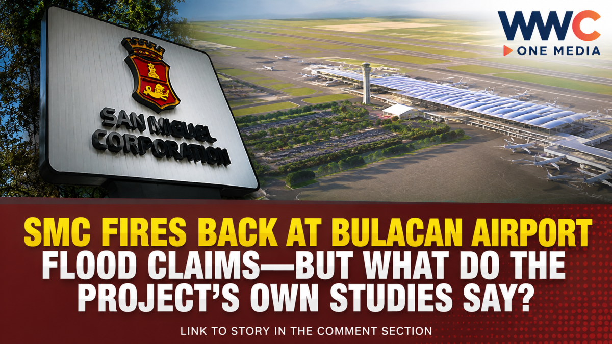
MANILA, Philippines — San Miguel Corp. (SMC) is pushing back against claims that its massive New Manila International Airport (NMIA) project in Bulacan worsened the province’s recent flooding, saying the allegations are not supported by hydrological data or technical analysis.
The controversy intensified after weeks of heavy rains left large parts of Bulacan and other areas of Central Luzon dealing with serious flooding. At an Aug. 31 rally, the group Kilos Bulacan called for stronger government action on the province’s recurring flood problems and included the airport and associated aerotropolis development among projects it wanted stopped.
SMC President and CEO Ramon S. Ang subsequently mounted a detailed defense of the airport project, presenting maps, water-level information and photographs during a Sept. 1 media briefing.
SMC: Airport is not the source of Bulacan flooding
San Miguel Aerocity Inc. (SMAI), the SMC subsidiary developing NMIA, said the airport was designed around the long-standing flood risks of Bulacan’s low-lying coastal areas.
The company pointed to several factors it says contribute to the province’s flooding, including its low elevation, heavy rainfall, water flowing downstream from inland areas, limited river capacity, land subsidence, rising sea levels and the effects of continued development.
SMAI said there has been no publicly identified hydrological study or technical analysis establishing that NMIA caused the recent flooding.
Ang likewise argued that the airport site sits beside Manila Bay and is surrounded by major waterways equipped with water-level gauges. According to him, the gauges around the project did not show unusual rises that would indicate the airport was causing flooding in surrounding communities.
He also rejected allegations that the project had blocked three river systems.
But the airport’s own environmental study adds an important wrinkle
The debate is not simply a matter of whether SMC says the airport causes flooding.
A 2021 environmental and social impact assessment prepared for NMIA by engineering consultant Mott MacDonald contains an important qualification.
The assessment found that developing and raising the airport platform could increase upstream flooding, which is why river dredging and other flood-mitigation measures were incorporated into the project design.
The study identified the surrounding Taliptip and Meycauayan rivers as major waterways draining toward Manila Bay. It also described the project area as extremely flat and low-lying, with flooding influenced by heavy rainfall, tidal conditions and slow drainage.
Among the proposed mitigation measures were raising the airport platform, enlarging river channels through dredging, and installing drainage and river- and ocean-facing protective structures.
In other words, the technical documentation does not simply say that the airport could never affect flood behavior. Rather, it identified a potential development-related flood impact and prescribed engineering measures intended to offset or manage that risk.
That distinction is crucial to understanding the current dispute.
Years of flood modeling preceded construction
According to SMAI, Danish engineering firm DHI began hydrological and coastal studies for the project in 2018.
The studies examined surrounding rivers, coastal waters, historical typhoons, storm surges and land subsidence. A 2019 river flood assessment was followed by additional modeling, while Mott MacDonald consolidated the technical work in 2021.
SMAI said the modeling led to a design requiring the airport platform to be elevated between 3.85 meters and 5.50 meters above mean sea level, depending on the location.
The company also said DHI and Dutch marine engineering firm Boskalis developed an approach that focused on deepening riverbeds while limiting the need for extensive widening, particularly because of land constraints and the presence of mangrove areas.
SMC points to billions of tons of dredged material
SMC has also highlighted its river-cleaning program as part of its flood-mitigation strategy.
Under its Better Rivers PH initiative, the company said it removed more than 4.3 million metric tons of silt and waste from waterways across Bulacan as of Aug. 18, 2026.
The cleanup covered waterways around Bulakan as well as rivers in Bocaue, Guiguinto, Balagtas, Malolos, Obando, Meycauayan, Marilao and the Labangan-Angat river system.
SMC said more than one million metric tons were removed from three rivers near the airport between 2022 and 2024, with subsequent dredging expanding to other parts of the province.
The company has maintained that the work is being conducted at no cost to the government.
Bulacan residents and activists remain unconvinced
The criticism, however, has not disappeared.
At the Kilos Bulacan rally, residents and civic organizations argued that flooding must be examined at the level of the entire watershed rather than attributed only to individual rivers or weather events.
Bulakan resident and rally convener Obet Rodrigo alleged that waterways serving several communities had effectively been blocked, contributing to backflow and flooding.
SMC rejected those allegations and challenged critics to identify the specific river allegedly obstructed by the airport project.
The disagreement therefore goes beyond a simple claim-and-denial exchange. It involves competing interpretations of how the airport site, surrounding rivers, upstream runoff, coastal tides and decades of land-use changes interact.
Government response focuses on the bigger flood problem
The controversy comes as the national and provincial governments intensify flood-response measures across Central Luzon.
President Ferdinand Marcos Jr. ordered agencies to ensure assistance reaches flood-hit communities, while provincial officials in Bulacan have been coordinating with the Department of Public Works and Highways, the National Irrigation Administration and disaster-response authorities on river clearing and flood mitigation.
Bulacan officials have also discussed acquiring additional pumps, backhoes, barges and suction equipment to clear drainage channels and waterways of obstructions.
The province has identified unfinished flood-control structures and ineffective culverts as among the problems requiring attention.
The bigger question: Is the airport part of the problem—or part of the solution?
SMC’s argument is straightforward: Bulacan has experienced severe flooding for generations, and NMIA was designed specifically with those conditions in mind.
But the project’s own environmental documentation shows why the issue deserves continued technical scrutiny. The development changes a large coastal landscape, and its environmental assessment anticipated possible changes in upstream flood conditions that would need to be addressed through engineered mitigation.
That means the most important question is not simply whether “the airport caused the floods.”
The more useful question is whether the project’s flood-control measures are functioning as designed, whether surrounding waterways retain adequate capacity, and whether cumulative changes across Bulacan’s interconnected watershed are increasing flood risk.
With the NMIA expected to become one of the Philippines’ largest infrastructure projects, the answer will matter not only to San Miguel Corp. but also to communities living around the airport and throughout the Bulacan river system.
For now, SMC maintains that the airport did not cause the province’s flooding. Critics continue to demand greater scrutiny. And the latest flooding has once again put Bulacan’s long-running struggle with water, land subsidence, river capacity and coastal drainage under the national spotlight.

Leave a Reply