
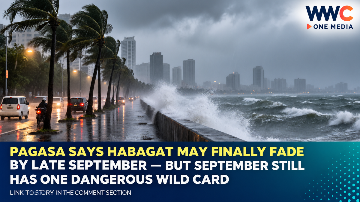
MANILA, Philippines — After weeks of flooded roads, suspended classes, canceled sea trips and repeated heavy-rain warnings, millions of Filipinos are asking the same question:
When will Habagat finally end?
The answer from the country’s weather bureau is encouraging—but it comes with a major warning.
The Philippine Atmospheric, Geophysical and Astronomical Services Administration expects the Southwest Monsoon, locally known as Habagat, to persist until roughly the end of September 2026.
PAGASA Administrator Nathaniel Servando said rainfall should generally become less intense and less persistent than the extraordinary downpours experienced during recent weeks, partly because tropical cyclones currently north of the Philippines are relatively weak and distant.
But that does not mean September will suddenly become dry.
Western parts of the Philippines remain vulnerable to another round of heavy rain—especially if a tropical cyclone develops or moves into a position that strengthens the monsoon flow.
And PAGASA expects two to three tropical cyclones to develop within or enter the Philippine Area of Responsibility this month.
That means Habagat may be approaching its final weeks.
Its most dangerous rainfall episodes may not necessarily be over.
PAGASA: Expect Habagat Until the End of September
Servando told the Philippine News Agency that the Southwest Monsoon is likely to remain active until the end of September.
He expects generally lower rainfall compared with the preceding weeks, but above-normal rainfall could still occur over western Luzon, Occidental Mindoro and western sections of the Visayas.
That distinction matters.
A weakening Habagat does not mean the rain stops completely.
It means the seasonal southwesterly circulation gradually loses dominance.
Even during that transition, temporary surges can still bring hours—or sometimes days—of heavy rainfall.
PAGASA weather specialist Obet Badrina separately noted that monsoon rains over the western Philippines typically persist through September and can sometimes continue into the first half of October.
So Filipinos hoping for an abrupt end to the rainy pattern on September 30 should not treat that date as a switch being turned off.
Habagat Has No Fixed Expiration Date
Unlike Christmas or the beginning of a school year, Habagat does not have a predetermined final day.
PAGASA determines the end of the season by examining atmospheric changes.
Among the signals meteorologists watch are:
- a sustained weakening of southwesterly winds;
- strengthening high-pressure systems over East Asia;
- movement of the Intertropical Convergence Zone farther south; and
- the gradual establishment of winds associated with the Northeast Monsoon, or Amihan.
When those signals become persistent enough, PAGASA issues an official declaration terminating the Southwest Monsoon.
That is exactly what occurred last year.
On October 6, 2025, PAGASA declared Habagat over after observing continued weakening of the Southwest Monsoon, strengthening high pressure over East Asia and the southward migration of the ITCZ.
Recent History Shows Early October Is Common
Looking at PAGASA’s recent declarations shows why an exact September deadline would be misleading.
The Southwest Monsoon officially ended on:
October 5, 2022;
October 12, 2023;
October 7, 2024; and
October 6, 2025.
In 2021, PAGASA did not declare its termination until October 15.
The pattern is clear.
Habagat generally weakens around late September or early October—but atmospheric conditions determine when PAGASA formally calls the season over.
That makes Servando’s “end of September” outlook entirely plausible without guaranteeing that the official declaration will arrive on or before September 30.
This Year’s Habagat Started Earlier
PAGASA officially announced the start of the 2026 Southwest Monsoon on May 30 after observing southwesterly winds strengthening over western sections of the country.
Five days later, on June 4, the agency declared the onset of the rainy season over western Luzon and the Visayas after several days of persistent monsoon rainfall.
PAGASA warned even then that the season could behave unusually.
The reason was El Niño.
Normally, El Niño is associated with increased chances of below-normal rainfall and drought across much of the Philippines.
But the interaction is more complicated during Habagat.
PAGASA specifically warned that western portions of the country can still experience above-normal rainfall during an El Niño year, particularly when the Southwest Monsoon is enhanced by tropical cyclones.
That prediction has proved important in understanding this year’s weather.
El Niño Does Not Mean Habagat Cannot Produce Extreme Rain
One of the most confusing aspects of 2026 has been the coexistence of a strengthening El Niño with destructive monsoon rainfall.
It sounds contradictory.
It isn’t.
PAGASA has explained that while El Niño raises the overall probability of dry spells and drought in many areas, western parts of the Philippines can experience unusually wet conditions during the Southwest Monsoon.
In August, the weather bureau said the extreme rainfall occurring over parts of Luzon and the Visayas was consistent with the pattern officials had warned about earlier in the year.
A dramatic example occurred on August 17.
PAGASA’s Science Garden station in Quezon City recorded approximately 201.7 millimeters of rain in only five hours, according to Servando.
That amount demonstrates why a forecast saying rainfall will become “relatively less” should not be interpreted as a guarantee against another severe event.
Two to Three Cyclones Could Still Change Everything
September remains an active month for tropical cyclones.
PAGASA expects two to three systems to develop within or enter the PAR during September.
And they do not have to make landfall to cause problems.
One climatological track PAGASA watches involves cyclones remaining east or northeast of the Philippines before recurving toward Japan or South Korea.
Those storms may stay hundreds of kilometers from Philippine land.
Yet their circulation can still pull moist southwesterly winds across the archipelago and strengthen Habagat.
That is why a storm heading away from the Philippines can sometimes produce more rain over Metro Manila, Central Luzon, Mimaropa or Western Visayas.
The cyclone itself may never arrive.
Its influence on the monsoon does.
Pilandok Shows Exactly How That Happens
Tropical Storm Krovanh—known locally as Pilandok while inside the PAR—is a useful example.
The storm exited the Philippine Area of Responsibility on September 3 while remaining far northeast of the country. PAGASA said there was little likelihood of Philippine landfall.
But forecasters subsequently said Krovanh could loop southward and reenter the PAR around September 6.
Even without making landfall, PAGASA warned that its circulation could continue enhancing Habagat over Luzon and the Visayas.
That is the wild card in forecasts about the monsoon’s final weeks.
A tropical cyclone hundreds of kilometers offshore can temporarily strengthen southwesterly winds and reverse what otherwise looks like a weakening trend.
The Rains Have Already Eased in Some Areas—But Not Everywhere
PAGASA’s September 4 weekly outlook showed Habagat continuing to affect large portions of Luzon and parts of the Visayas.
For September 5 to 6, monsoon rains were expected over Occidental Mindoro while occasional rains affected areas including Metro Manila, Zambales, Bataan, Pampanga, Bulacan, Cavite, Laguna and Batangas.
By September 6, PAGASA’s morning forecast still listed the Southwest Monsoon as the dominant weather system affecting Luzon and the Visayas.
Zambales, Bataan, Cavite, Batangas and Occidental Mindoro faced occasional rains, while Metro Manila and several other regions were forecast to experience scattered rains and thunderstorms.
So although the seasonal trend may now point toward gradual weakening, the atmosphere has clearly not completed the transition.
“Monsoon Break” Does Not Mean Habagat Is Finished
Another source of confusion is the monsoon break.
PAGASA warned when the rainy season began that periods of reduced rainfall could last several days or even weeks.
Those dry or relatively sunny stretches do not necessarily mean Habagat has ended.
The monsoon can weaken temporarily and then return.
That is why PAGASA does not terminate the season after only a few days of better weather.
Meteorologists need evidence of a sustained change in the broader atmospheric circulation.
For residents, that means several sunny afternoons in September should not automatically be interpreted as the start of Amihan.
Ending Habagat Does Not Mean Ending the Rain
There is another important misconception.
Even once PAGASA officially terminates Habagat, rain does not stop across the Philippines.
The country enters a transition period toward the Northeast Monsoon.
Meanwhile, tropical cyclones can still develop.
Localized thunderstorms remain possible.
The ITCZ can still bring significant rainfall.
And eastern sections of the Philippines may actually experience wetter conditions once Amihan becomes established because northeasterly winds pick up moisture from the Pacific before reaching the country’s eastern coastline.
So “the end of Habagat” really means the end of one dominant seasonal wind pattern.
It does not mean the Philippines suddenly enters a nationwide dry season.
Amihan Usually Arrives Weeks Later
Recent PAGASA declarations also show a gap between the end of Habagat and the formal start of Amihan.
In 2025, Habagat ended on October 6, but PAGASA did not formally declare the onset of the Northeast Monsoon until October 27.
During that transition, wind direction gradually shifts.
Northern Luzon typically begins experiencing cooler northeasterly winds first before Amihan progressively affects more of the country.
That means there can be several weeks in which neither Habagat nor Amihan fully dominates nationwide weather.
This Year’s Transition Could Be Especially Interesting
The strengthening El Niño adds another layer to the 2026 transition.
PAGASA has assessed El Niño as having strengthened from moderate toward moderate-to-strong conditions, with forecasts suggesting it could become very strong before the end of the year.
As Habagat disappears, El Niño’s tendency to suppress rainfall over many areas may become increasingly noticeable.
PAGASA forecasts one to two tropical cyclones each in October, November and December, so typhoon risk does not vanish with the monsoon.
But away from cyclone events, some parts of the country could gradually face reduced rainfall, warmer temperatures, dry spells and eventually drought risk as the El Niño matures.
That creates an unusual transition:
from fears of too much rain to concerns about not having enough.
So When Will Habagat Actually End?
The most accurate answer as of September 6 is:
PAGASA expects Habagat to weaken toward the end of September, but the precise termination date cannot yet be known.
It could be late September.
It could slip into early October.
And recent history shows that early-October declarations are normal.
The weather bureau will make the official call only when the atmospheric signals clearly show that the seasonal southwest flow has broken down.
Until then, western Luzon, Mindoro and western sections of the Visayas can still experience significant rainfall.
And with two to three tropical cyclones possible this month, the monsoon still has opportunities to surge again before disappearing.
After months of rain, floods and weather disruptions, Filipinos may finally be approaching the last stretch of Habagat 2026.
But the season does not end because the calendar says September is almost over. It ends when the winds finally change—and until that happens, another monsoon surge remains possible.
WWC ONE MEDIA M.J.E



Leave a Reply