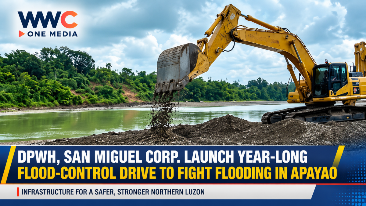
BAGUIO CITY — A major year-long flood-mitigation campaign is underway in Apayao as the Department of Public Works and Highways (DPWH), San Miguel Corp. (SMC), and the Apayao provincial government join forces to clear and rehabilitate waterways across the province.
The initiative, known as “Oplan Kontra Baha,” is designed to reduce recurring flooding through sustained dredging, desilting, waterway clearing, and waste removal.
According to the Philippine News Agency, the operation will run from September 2026 through September 2027 and cover around 12 rivers and creeks spanning a combined 57.52 kilometers.
Abulug River Among Priority Waterways
One of the principal targets is the Abulug River, a major waterway within the Apayao-Abulug River Basin.
DPWH Undersecretary Charles Calima Jr., who heads the agency’s Oplan Kontra Baha Task Force, said areas were selected following assessments with local officials to identify waterways and communities repeatedly affected by flooding during heavy rainfall and typhoons.
The campaign will involve continuous dredging and desilting, alongside clearing operations and the collection and hauling of waste from waterways.
SMC will provide additional heavy equipment and personnel, while DPWH and the provincial government will oversee implementation.
Public-Private Partnership Targets Flood Risks
The Apayao operation reflects a broader push by the national government to combine government resources with private-sector equipment and support in addressing flood risks.
The DPWH and SMC have also launched dredging work in other flood-prone areas, including the Gugu River in Minalin, Pampanga, as part of their wider flood-mitigation efforts.
The partnership comes as the government accelerates efforts to improve flood resilience in areas repeatedly hit by intense rainfall and typhoons.
DPWH Expands Science-Based Flood Planning
The Apayao operation is also being pursued alongside DPWH’s longer-term effort to update flood-management master plans across the Philippines.
In September, DPWH said it was working with the University of the Philippines’ Project Nationwide Operational Assessment of Hazards (UP NOAH), local governments and other agencies to incorporate updated hazard maps and scientific information into flood-management planning.
The department identified the Apayao-Abulug River Basin among 10 major areas where detailed engineering designs were being developed under updated flood-management plans.
The broader planning effort covers river basins and flood-prone areas across Luzon, the Visayas and Mindanao.
Why the Apayao Operation Matters
Flooding remains a recurring threat to communities, farms, roads and other infrastructure in parts of Apayao, particularly during periods of intense rainfall.
A previous flood-control project in Conner, Apayao, completed in 2025, was reported to have reduced flooding risks for communities and farmland along the Barren River. The project was built in response to recurring flooding that had damaged farms, homes and infrastructure.
The new province-wide campaign takes a different approach by focusing on the maintenance and clearing of multiple waterways over an extended period, rather than relying solely on individual flood-control structures.
With operations scheduled to continue for a full year, authorities will be watching whether regular dredging, desilting and waterway clearing can improve drainage capacity and reduce flooding in vulnerable communities.
For Apayao residents, the real measure of the programme will come when the next periods of heavy rain and typhoon activity test whether the waterways can handle increased water flows.
WWC ONE MEDIA G,A