
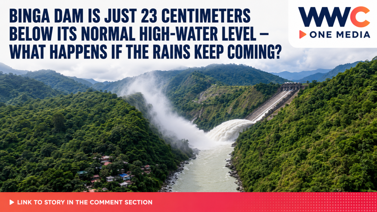
PANGASINAN, Philippines — Three major reservoirs along the Agno River system are moving closer to their normal high-water levels after days of intense monsoon rain, with authorities opening a combined 10 gates at Ambuklao and Binga dams while closely monitoring conditions downstream toward San Roque Dam and communities in Pangasinan.
GMA News, citing the Pangasinan Provincial Disaster Risk Reduction and Management Office, reported Sunday that San Roque, Ambuklao and Binga were nearing their respective normal high-water levels following persistent rainfall. The provincial office reported San Roque at 274.91 meters above sea level, Ambuklao at 750.61 meters and Binga at 574.75 meters.
However, PAGASA’s official 8 a.m. August 30 monitoring data, which provides a slightly later or differently timed snapshot, showed all three reservoirs somewhat higher:
| Dam | 8 a.m. water level | Normal high-water level | Remaining gap | Gates open |
|---|---|---|---|---|
| Ambuklao | 750.74 m | 752.00 m | 1.26 m | 4 |
| Binga | 574.77 m | 575.00 m | 0.23 m | 6 |
| San Roque | 275.09 m | 280.00 m | 4.91 m | None reported |
PAGASA said Ambuklao’s four gates had a combined opening of two meters and were discharging about 265.49 cubic meters per second, including spillway and turbine flows. Binga had six gates open for a combined three meters and an estimated discharge of 410.40 cubic meters per second. PAGASA’s table showed no spillway gate opening at San Roque as of 8 a.m.
That distinction is important. Although headlines about “10 dam gates” could give the impression that San Roque itself is releasing water, PAGASA’s current figures indicate that the 10 open gates are at Ambuklao and Binga, not San Roque.
Why Binga is being watched particularly closely
Of the three reservoirs, Binga is now closest to its normal high-water level, sitting only 23 centimeters below the 575-meter mark as of PAGASA’s 8 a.m. reading. Ambuklao remained 1.26 meters below its normal high level, while San Roque had nearly five meters of room remaining.
The three reservoirs are interconnected through the Agno River system. Water released from Ambuklao travels downstream toward Binga. Releases from Binga then continue through the Agno River toward San Roque Dam in Pangasinan, making coordinated monitoring crucial during extended periods of rainfall.
PAGASA’s latest hydrological situationer for the Ambuklao-Binga-San Roque sub-basin said the area received an average 92.4 millimeters of rainfall during the preceding 24 hours, with another 40 to 120 millimeters forecast during the next 24 hours. The bulletin specifically identified Barangay Ambuklao in Bokod and Barangays Dalupirip and Tinongdan in Itogon among areas requiring continued vigilance while the upstream dams release water.
PAGASA puts Agno system under flood watch
The concern extends beyond reservoir elevations. PAGASA currently lists both the Agno River Basin and the Ambuklao-Binga-San Roque sub-basin under Flood Watch, meaning authorities are actively tracking river levels and rainfall that could produce flooding.
In a separate Agno River flood bulletin issued at 7 a.m. Sunday, PAGASA said the basin had received about 111 millimeters of rainfall over 24 hours and could receive another 50 to 150 millimeters.
Conditions differed sharply across downstream monitoring stations. At San Vicente station along the Lower Agno River, the river was already above alarm level and was projected to approach or exceed its critical level, with flooding threatening Bayambang, Urbiztondo, Mangatarem, Aguilar and Lingayen. At Bugallon station, PAGASA said flooding was expected in Bugallon and parts of Lingayen.
Flooding was also forecast to persist around Sta. Barbara, Calasiao, Dagupan City and portions of Binmaley, while possible flooding was identified for Mapandan, San Fabian and Mangaldan.
These warnings should not automatically be interpreted as flooding caused by dam releases. Heavy monsoon rainfall, saturated ground, tributary flows, drainage problems and coastal conditions can all contribute to flooding. PAGASA’s river bulletin, rather than attributing all downstream flooding to the reservoirs, tracks the combined hydrological situation throughout the basin.
Pangasinan already feeling the effects of prolonged rain
The rising reservoirs come as parts of Pangasinan are already dealing with significant damage from weeks of adverse weather.
The Philippine Daily Inquirer reported Sunday that Bayambang declared a state of calamity after Tropical Storms Luis and Maymay and the enhanced Habagat caused widespread flooding and more than ₱31.28 million in agricultural losses. Around 577 farmers and nearly 616 hectares of agricultural land were affected, according to local government figures.
That provides important context for the latest dam alerts: even before any potential escalation in reservoir operations, some communities within the broader Agno River basin have already been dealing with saturated fields, flooding and livelihood losses.
The Philippine Star had also reported on August 27 that San Roque’s reservoir was already showing an increase following weeks of typhoon and monsoon rainfall, underscoring how quickly reservoir conditions have changed during the latest stretch of wet weather.
Habagat still has more rain to deliver
The Philippine News Agency, citing PAGASA’s Sunday forecast, reported that the Southwest Monsoon or Habagat will continue affecting Luzon and the Visayas, with monsoon rains expected particularly over Pangasinan, Benguet, La Union, Ilocos Sur, Bataan, Zambales, Tarlac and Pampanga.
PAGASA warned that heavy to intense rainfall in these areas could trigger additional flash floods and landslides. A low-pressure area was also being monitored far east of Extreme Northern Luzon, although the immediate rainfall threat Sunday continued to come primarily from the Habagat.
What residents should watch next
The key question is no longer simply whether the reservoirs are “near full.” What matters over the next several hours is how much additional rain falls over the watershed, how quickly water enters the reservoirs, whether gate openings at Ambuklao and Binga are increased or reduced, and how the Agno River responds downstream.
For now, PAGASA’s data show Binga extremely close to its normal high-water level, Ambuklao continuing controlled releases and San Roque rising but still several meters below its own normal high-water mark. Authorities are urging residents in vulnerable riverbank and low-lying communities to follow PAGASA and local disaster-office advisories instead of relying on unverified social-media warnings.




Leave a Reply