
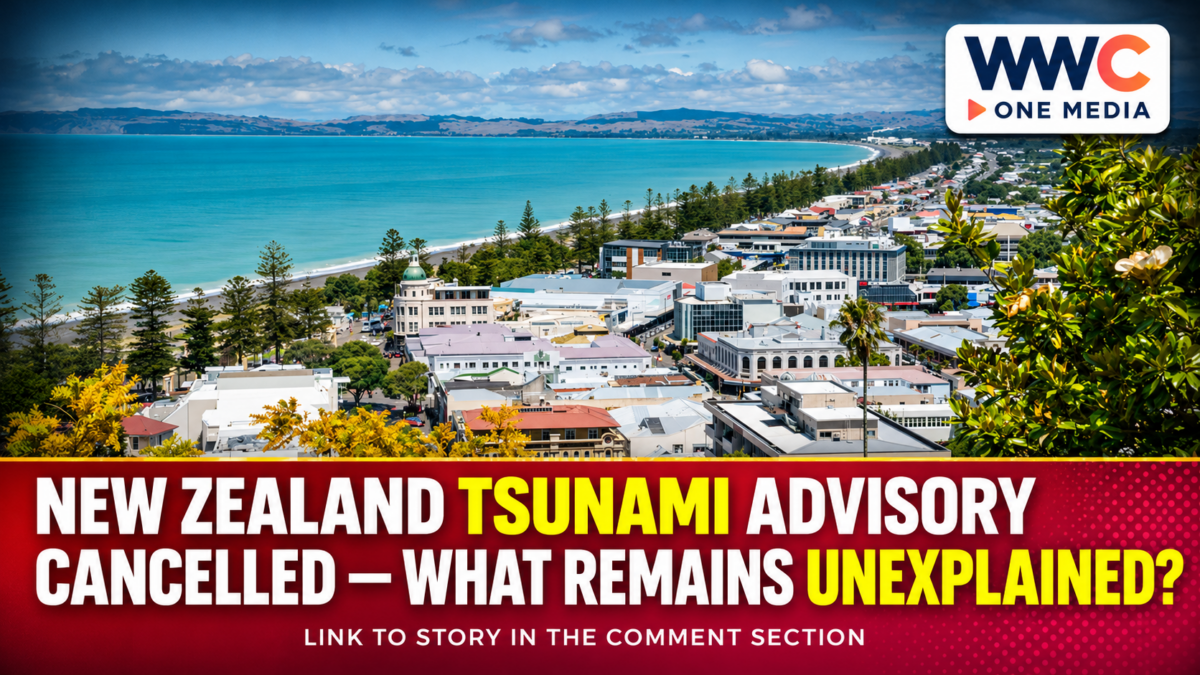
NEW ZEALAND — Nov. 21, 2026. New Zealand’s National Emergency Management Agency (NEMA) cancelled its Nov. 18 tsunami activity advisory for the North Island’s east coast after scientific assessment found the immediate threat had passed. The original notice followed unusual water-level activity recorded at Napier and Gisborne, but the agency did not identify a confirmed cause.
The incident raises an important public-safety question: how should coastal communities respond when instruments indicate potentially dangerous sea conditions before scientists know exactly what produced them? Official statements provide a clear answer on the immediate warning, while leaving the underlying event open to further scientific explanation.
New Zealand tsunami advisory: what triggered the response?
NEMA issued the national advisory at 5:38 p.m. local time on Nov. 18, 2026. Its initial public statement described tsunami activity detected on tidal gauges at Napier and Gisborne and warned of strong, unusual currents and unpredictable surges along the eastern coastline of the North Island.
The agency did not declare that a major earthquake had triggered the readings. It said the source was unknown and raised an underwater landslide as one possible explanation. That possibility must not be presented as an established finding.
New Zealand’s GeoNet network uses coastal sea-level instruments to support the assessment of possible tsunami activity. Its published technical guidance explains that such measurements help scientists assess whether abnormal waves have reached the coast, but do not necessarily provide enough advance warning for every nearby tsunami.
Why officials cancelled the advisory
NEMA’s cancellation statement, released on the evening of Nov. 18, confirmed that the original 5:38 p.m. advisory had ended. The agency said the scientific assessment no longer indicated an active tsunami threat to the affected coastline.
The cancellation resolved the immediate public warning. It did not establish the origin of the earlier readings. NEMA said Earth Sciences New Zealand and emergency-management authorities were continuing to monitor the situation.
For readers, the sequence also illustrates why an early advisory and its subsequent cancellation are not necessarily contradictory. The initial message addresses a possible risk at a particular moment; the later message reflects the assessment available when it is issued.
What the advisory actually told coastal communities
The Nov. 18 notice focused on danger in and around coastal waters. NEMA directed people to stay out of the sea, leave exposed beaches and shore areas, and avoid harbours, marinas, river mouths and estuaries within the affected zone.
The original notice explicitly stated that flooding of nearby land was not expected from this event. It did not order a general evacuation of inland communities; it instructed residents to follow any separate directions from their local civil defence authorities.
The broader challenge of sending clear warnings across the region has also featured in WWC ONE MEDIA’s coverage of Japan’s disaster-warning cooperation with Asian partners. Technology can detect danger, but instructions still need to describe what people should do and where.
How New Zealand’s monitoring system works
GeoNet describes a monitoring framework that combines seismic instruments, coastal gauges and deep-ocean tsunami detectors. Coastal gauges register changes in water level, while Deep-ocean Assessment and Reporting of Tsunami (DART) systems measure pressure variations on the seafloor that can help scientists examine potential tsunami waves.
GeoNet states that the national DART network contains 12 systems in the southwest Pacific. The broader coastal gauge network includes 18 sea-level stations and a separate Lake Taupō sensor used for lake-tsunami research and monitoring, rather than tsunami early warning.
Earth Sciences New Zealand provides scientific expertise, while NEMA distributes New Zealand’s national official tsunami notifications. That division of responsibilities separates technical hazard assessment from public emergency instructions.
The Nov. 18 emergency announcement specifically identified coastal gauge observations. The records reviewed here do not establish that a DART instrument detected or confirmed this particular episode. Describing the system’s general capabilities should not be confused with a claim about which equipment was decisive on that day.
WWC’s earlier examination of why an earthquake measurement does not automatically establish a tsunami threat addresses a related reporting problem: seismic readings and coastal-risk decisions answer different questions.
Why this matters beyond New Zealand
Analysis: The Nov. 18 incident shows the importance of communicating uncertainty precisely. Officials described a physical observation, warned people away from potentially hazardous water, and withdrew the advisory after reassessment. An unexplained observation is not proof that the initial precaution was unreasonable.
The same principle matters in the Philippines and elsewhere in the Pacific. Emergency communications should distinguish a measured hazard, a possible cause, a current instruction and a later all-clear. Combining those elements into a single dramatic claim could cause unnecessary confusion.
WWC has previously explored the resilience of Philippine utilities and emergency systems during major earthquakes. Preparedness involves more than detecting a threat; it also means making instructions understandable and keeping essential communications reliable.
New Zealand’s standing guidance adds another essential point: people near the coast who experience a long or strong earthquake should move to safer ground without waiting for an official mobile alert. A nearby tsunami may arrive before electronic warnings can be distributed.
What happens next
The Nov. 18 advisory is no longer in force. In the cancellation statement reviewed for this update, the agency did not announce a definitive explanation for the unusual activity near Napier and Gisborne.
A subsequent scientific finding, if published, should be assessed against the original instrument observations rather than guessed from the timing of the cancellation. Until then, the accurate conclusion is limited: authorities observed unusual activity, issued a precautionary coastal advisory and later withdrew it when the assessed threat had passed.
For residents and visitors, the standing lesson is to follow current official instructions and recognise natural tsunami warning signs. The cancellation of one incident does not eliminate the possibility of future coastal hazards.
Frequently asked questions
When was the New Zealand tsunami advisory issued?
NEMA issued the advisory at 5:38 p.m. New Zealand time on Nov. 18, 2026, after abnormal activity was detected on coastal gauges at Napier and Gisborne.
Why was the tsunami advisory cancelled?
The agency withdrew the notice after scientific advice indicated the immediate tsunami threat to the North Island’s east coast had passed.
Did an underwater landslide cause the event?
That has not been established in the official statements reviewed. NEMA identified an underwater landslide only as a possibility.
Was coastal flooding expected?
No. The initial advisory warned of dangerous currents and surges near the water but stated that flooding of nearby land was not expected from this episode.
What should people do during a future tsunami threat?
Follow current civil defence instructions. After a long or strong earthquake near the coast, move to higher ground or farther inland immediately rather than waiting for an electronic warning.