
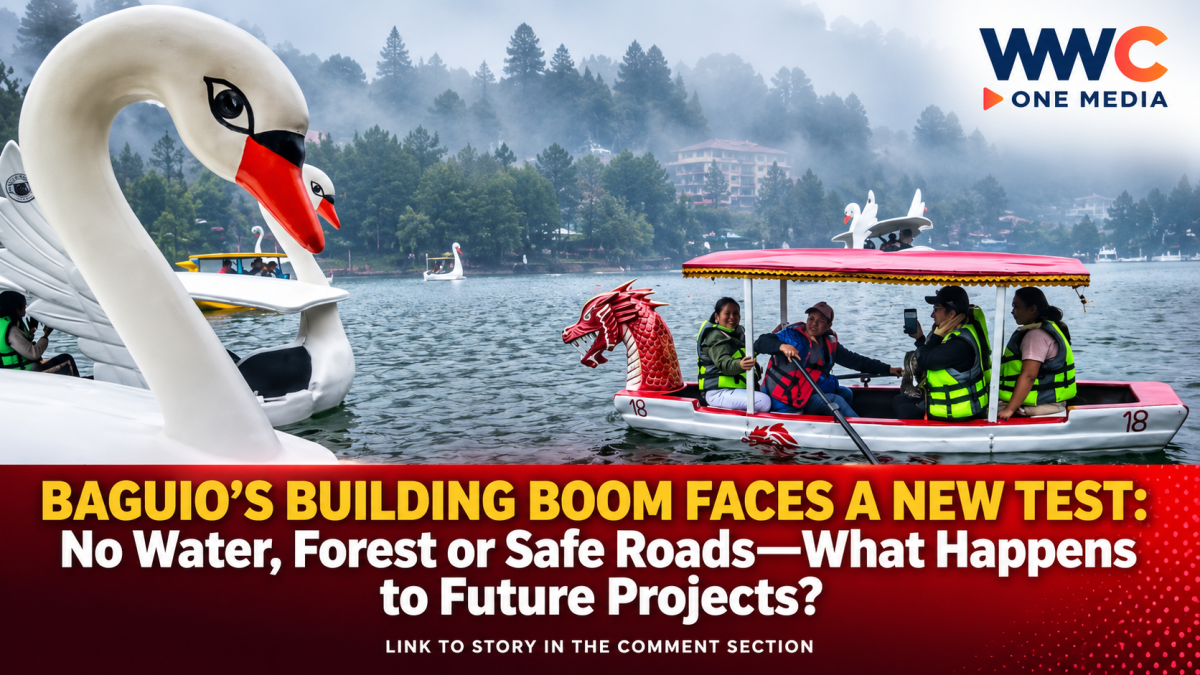
BAGUIO CITY — The future of construction in Baguio City could look dramatically different as city planners move to make water supply, environmental protection, disaster risks and neighborhood capacity central requirements for new developments.
Under the city’s updated Comprehensive Land Use Plan (CLUP) and proposed zoning reforms now being discussed by the Baguio City Council, developers may no longer be able to pursue high-density projects simply because a property is available for construction.
Instead, the question will increasingly be whether the surrounding area has enough water, road capacity, environmental resilience and safety to support the proposed development.
Architect Donna Tabangin, Baguio’s city planning, development and sustainability officer, explained during a Sept. 4 special session of the City Council that projects could face restrictions if their proposed locations lack adequate water resources or sufficient road access.
The policy shift comes as Baguio confronts the consequences of decades of rapid urbanization, including declining water resources, shrinking green spaces, congestion and increasing pressure on its remaining environmentally sensitive areas.
WATER COULD BECOME THE CITY’S BIGGEST DEVELOPMENT LIMIT
Among the biggest concerns is water.
Baguio has been dealing with a persistent gap between water demand and available supply. PNA reported in July that the city’s average daily water demand had reached about 60,000 cubic meters, compared with an average supply of around 56,000 cubic meters. The city government has been pursuing additional rainwater-harvesting facilities to help close the gap.
Earlier Baguio Water District figures cited by PIA showed an even wider supply-demand imbalance in 2025, with demand at 62,610 cubic meters per day against production of about 51,270 cubic meters per day.
That shortage is now directly influencing land-use policy.
Tabangin said the city’s 2019 urban carrying-capacity study found that Baguio had already exceeded the sustainable capacity of some of its critical resources.
Under the emerging planning framework, areas without enough water would not be allowed to accommodate high-density development, regardless of the potential economic benefits.
This means future hotels, commercial buildings, residential towers and other major projects could face a much tougher test before receiving approval.
THE FOREST IS PART OF THE WATER SYSTEM
Baguio’s water problem cannot be separated from its forests and watersheds.
The Baguio Water District recently warned that heavy rainfall had increased turbidity in several water sources, including areas connected to the Buyog and Busol watersheds and sources in Tuba, Benguet.
The agency pointed to forest loss, land conversion, soil disturbance, poorly managed drainage and construction activity as factors that can increase runoff and erosion.
Healthy forests and soil help rainfall infiltrate the ground, allowing underground water sources to recharge gradually. When vegetation is removed and natural surfaces are replaced with concrete and other impervious materials, more water runs off rapidly instead of replenishing groundwater.
That makes watershed protection not merely an environmental issue—but a long-term urban survival issue.
Baguio’s revised planning approach therefore seeks to prevent development from consuming the very natural systems the city depends on for water.
Republic Act No. 11689, which revised Baguio’s city charter, likewise directs the city government, in coordination with relevant national agencies and the Baguio Water District, to protect, conserve and sustainably manage the city’s forestlands and watersheds.
NOT EVERY PART OF BAGUIO HAS THE SAME RISK
Another major change is the move toward more detailed, location-specific planning.
PIA reported earlier this year that Baguio’s updated CLUP is using micro-zonation, meaning regulations can differ from one area to another depending on geological and environmental conditions.
Some locations could face strict building-height limitations because of seismic or other hazards, while areas with lower risks could potentially accommodate greater development intensity.
The latest planning discussion also highlights the importance of Baguio’s multi-hazard map.
According to the city planning presentation, landslides account for the largest share of the city’s mapped vulnerability at 39 percent, followed by earthquakes at 28 percent, sinkholes at 17 percent, floods at 11 percent and forest fires at 5 percent.
Of Baguio’s 128 barangays, 11 were classified as high-risk areas and two as very high-risk areas in the cited multiple-hazard assessment.
That information could have major implications for where and how future structures are allowed to rise.
EVEN ROADS AND NEIGHBORHOODS ARE NOW PART OF THE EQUATION
Water and environmental risks are not the only limits.
The city is also looking at whether roads, schools, housing and other public services can keep pace with additional development.
Recent city planning data highlighted by Inquirer showed that Baguio’s roads were already significantly beyond their carrying capacity, particularly when the city considers its “effective population”—not just permanent residents, but also tourists, students and people who enter the city for work and business.
That is a critical distinction for a tourism and education center.
Baguio’s daytime population can surge dramatically because of visitors, students and workers coming from surrounding areas. More buildings can therefore mean more vehicles, more water consumption, more wastewater and greater pressure on public infrastructure.
The proposed planning reforms essentially ask a simple question:
Can the neighborhood actually handle the additional people and activity that a new development will bring?
If the answer is no, the project could face restrictions.
DEVELOPMENT WILL NOT NECESSARILY STOP
Despite the tighter rules, city planners are not proposing to shut the door on investment.
Instead, the emerging policy is designed to make development more responsive to the actual capacity of each location.
According to the Inquirer report, projects that provide solutions to resource limitations and deliver community benefits could receive incentives, including potentially additional floor space or building height under an incentives-based approach.
That creates a different model for development: build more only when the project can demonstrate that it can responsibly support the additional demand.
For developers, this could mean greater emphasis on water efficiency, rainwater harvesting, wastewater management, transportation solutions, environmental protection and risk mitigation.
BAGUIO’S WATER FUTURE IS ALREADY BEING REBUILT
The city and Baguio Water District are simultaneously pursuing long-term water-security measures.
BWD’s 2026–2035 water-security roadmap includes additional groundwater projects, rainwater-harvesting facilities, demand management, leak reduction, improved water safety measures and protection of water sources.
The city has also been investing in rainwater harvesting, including a major facility in the Buyog watershed.
However, the implementation of such infrastructure has faced setbacks. A June report said the Buyog rainwater-harvesting project had been delayed after the original contract was terminated, with only about 30 percent of the project completed at that time.
The developments underscore a bigger reality: Baguio cannot solve its water crisis through construction alone.
It needs both infrastructure and protection of the natural systems that generate and replenish its water.
A NEW QUESTION FOR BAGUIO
For decades, the debate surrounding Baguio’s growth has often centered on how much the city can build.
The new land-use direction asks a different question:
How much development can Baguio safely and sustainably support?
That distinction could reshape the city’s skyline, neighborhoods and investment landscape.
With water supplies under pressure, forests and watersheds needing stronger protection, roads already congested and several areas exposed to natural hazards, Baguio’s next chapter may depend less on how much land remains available—and more on whether the city’s natural and public infrastructure can keep up.
For future developers, investors and residents, the message is becoming increasingly clear:
In Baguio, the future of construction may no longer be decided by the property alone. It will be decided by the water beneath it, the forest around it, the risks above it—and the neighborhood that has to live with it.
WWC ONE MEDIA J.M.S
Leave a Reply