
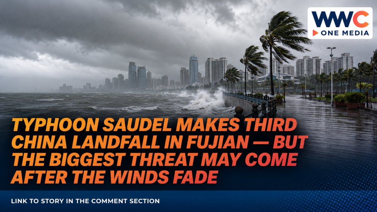
FUZHOU, China — Typhoon Saudel made an extraordinary return to China’s coast on Thursday, September 3, striking Fujian province for what authorities said was its third landfall in the country and triggering school closures, transport suspensions, evacuations and renewed warnings of potentially dangerous flooding.
Saudel came ashore near Gulei in Zhangpu County, Zhangzhou, at around 6:30 a.m., with winds near its center of about 23 meters per second, or roughly 83 kilometers per hour, according to Fujian meteorological authorities cited by Xinhua. China’s National Meteorological Center later classified the system as a tropical storm as it moved westward and gradually weakened.
But weakening winds do not mean the danger is over.
The storm is carrying large amounts of moisture into already saturated areas of southeastern China, raising the threat of flash floods, landslides, river flooding and urban inundation across Fujian and neighboring provinces.
Schools close, ferries stop as Fujian braces
Schools in Fuzhou and Quanzhou suspended in-person activities on Thursday, while authorities temporarily closed tourist attractions and halted ferry services as Saudel approached and crossed the coast. CNA, citing Chinese state broadcaster CCTV, initially reported that 24 passenger ferry routes had been suspended.
Later updates showed the disruption had become considerably broader.
Xinhua reported that by 7 a.m. Thursday, more than 83,000 people had been evacuated in Fujian. Eight sections of major roads were closed, 657 transport services were suspended, work stopped at 152 construction sites and more than 150 major tourist attractions were shut. Schools were also closed in parts of Zhangzhou, Ningde and other affected cities.
The scale of those precautions highlights what authorities now appear to fear most: not simply Saudel’s winds, but prolonged rainfall falling on areas already battered by earlier storms.
Up to 300 millimeters of rain could fall
China’s meteorological authorities warned that parts of Fujian, Guangdong, Jiangxi and Hunan, as well as areas around Taiwan, could receive heavy to torrential rainfall as the system pushes west.
Some locations in southeastern Fujian and eastern Guangdong could receive 250 to 300 millimeters of rain, according to forecasts carried by Chinese state media.
Fujian had already raised its flood-control emergency response before Saudel’s latest landfall.
The provincial government said rainfall between September 1 and the morning of September 2 exceeded 50 millimeters across 355 townships in 46 counties. More than 100 millimeters fell across 175 townships, while 22 townships in five counties recorded more than 250 millimeters.
Multiple rivers had also exceeded official warning levels, increasing the danger from another round of torrential rain.
Officials specifically warned about mountain torrents, landslides, mudslides, swollen smaller rivers and rapidly developing urban flooding.
Saudel has already left dramatic flooding behind
The impact has not been confined to Fujian.
In neighboring Zhejiang province, more than 2,500 teachers and students were trapped inside a school compound in Wenzhou after extreme rainfall caused flash flooding in the surrounding low-lying area, according to Reuters, citing state broadcaster CCTV.
Authorities used drones to deliver food and drinking water to those stranded.
In Fujian’s Fuding area, images showed muddy floodwaters flowing through streets and partially submerging vehicles. Work, industrial activity and classes were suspended as emergency crews responded.
Chinese media reported particularly severe rainfall elsewhere as well. In Cangnan County in Zhejiang’s Wenzhou area, rainfall reached 332.3 millimeters between the morning of September 1 and late morning September 2, with some monitoring stations setting local daily rainfall records.
Why Saudel’s third landfall is unusual
Saudel’s path has been anything but straightforward.
The storm first struck China’s eastern coastline on August 28, making separate landfalls around Taizhou and Wenzhou in Zhejiang province. Those earlier strikes prompted enormous precautionary evacuations: more than 820,000 people were evacuated in Wenzhou, while Taizhou authorities identified roughly 52,000 people requiring relocation. Train and ferry services were also disrupted.
After moving inland, Saudel weakened substantially and was downgraded to a tropical depression. But its remnants survived.
Once the system returned over the warm waters of the South China Sea, it reorganized and strengthened back into a tropical storm on September 1, retaining the Saudel name and storm number before eventually turning back toward the Chinese mainland.
That unusual sequence — landfall, weakening, regeneration over water and another landfall — is what makes Saudel’s lifecycle particularly notable.
By Thursday morning, the revived storm had completed its third Chinese landfall, this time in Fujian.
The next 24 hours could matter more than landfall itself
Saudel is expected to continue moving westward while gradually weakening, meaning its destructive wind field should diminish.
The rainfall threat, however, could persist well after the storm loses tropical-storm strength.
Reuters reported that heavy rain across Fujian and Guangdong was expected to continue into Friday, while authorities remained alert for flash flooding and other secondary disasters.
Guangdong was already feeling the effects. Schools and kindergartens were suspended in parts of the province, including Chaozhou, while some high-speed rail services from Shenzhen North Railway Station were halted. Officials warned of continued risks from river flooding, urban waterlogging, landslides and debris flows.
That leaves southeastern China facing a familiar but dangerous typhoon paradox: the cyclone can weaken while the disaster risk grows.
After days of rainfall, saturated soil absorbs less additional water. Rivers respond more quickly. Mountain slopes become less stable. Low-lying cities can flood even after the storm’s strongest winds have moved away.
For Saudel, therefore, its remarkable third landfall may not ultimately be the most consequential part of the story.
What happens to the rain after the winds weaken could determine the true scale of the storm’s impact.
WWC ONE MEDIA MJE




Leave a Reply