
OKINAWA, Japan — For years, drones have offered Okinawa businesses something particularly valuable: a cheap way to photograph turquoise coastlines, inspect buildings, survey construction sites, map land and capture promotional footage from perspectives that once required a helicopter.
Then Japan moved the line.
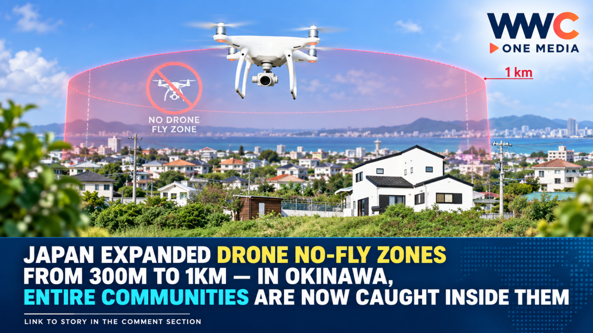
Since July 14, 2026, the country’s amended drone-security law has expanded restricted airspace surrounding designated military bases and other sensitive facilities from roughly 300 meters to 1,000 meters.
In much of Japan, that may sound like a technical regulatory change.
In Okinawa — where military installations sit beside neighborhoods, resorts, roads and commercial areas — the consequences can stretch across substantial portions of civilian communities.
The Japan Times reports that local drone businesses are now wrestling with the fallout as newly expanded no-fly zones overlap areas where commercial operators previously conducted aerial photography and other work.
Why Okinawa is hit harder than most places
Japan’s amended Act on Prohibition of Flights by Small Unmanned Aerial Vehicles over Areas Surrounding Sensitive Facilities applies nationwide.
But Okinawa is unusual because numerous U.S. military and Japanese defense facilities are concentrated across a relatively small and heavily populated island.
The Defense Ministry’s list includes sites such as Camp Hansen, Camp Schwab, Kadena Air Base, Futenma Air Station, Camp Courtney, Kin Blue Beach Training Area and Kin Red Beach Training Area, among others. Some facilities adjoin one another, causing their surrounding restriction zones to overlap.
That produces a very different real-world result from drawing a 1-kilometer circle around an isolated military installation.
Ryukyu Shimpo reported in August that the expanded restrictions left Kadena and Chatan effectively covered across their entire municipal areas, while other communities in central and northern Okinawa saw large portions fall inside restricted zones.
And that is where a national-security law starts becoming a local-business issue.
Okinawa uses drones for much more than scenic videos
Commercial drones have steadily moved beyond tourism photography.
Okinawa operators advertise services involving construction-site documentation, real-estate imagery, surveying, building and infrastructure inspections, agriculture, equipment inspections and promotional video production.
Local authorities and businesses have also been experimenting with drones for functions that would be difficult or expensive to perform conventionally.
Okinawa has seen projects involving disaster response, medical-supply transportation, agricultural spraying and even AI-assisted water-rescue systems.
A 2026 smart-city project in Nago, for example, began testing drones equipped with AI to monitor beaches and identify possible drowning incidents.
Earlier trials have also explored drone transport of medical supplies and daily necessities between communities.
The technology is therefore becoming embedded in sectors far beyond aerial photography.
That helps explain why operators are sensitive to any dramatic increase in regulated airspace.
One Okinawa business group issued a direct warning
The problem became concrete almost immediately after the amendment took effect.
The Uruma City Chamber of Commerce and Industry issued a notice specifically aimed at businesses using drones for aerial photography, warning that the flight-restricted area had expanded to approximately 1,000 meters.
In Kin Town, home to a substantial part of Camp Hansen as well as nearby training areas, the local tourism association published an unusually blunt notice.
It told companies planning drone filming that they must complete the necessary procedures before flying and said businesses without proper authorization would be refused permission to conduct drone photography through the association.
The message illustrates the practical effect of the new rules.
A photographer may not be trying to photograph a military base at all.
The intended subject might be a hotel, beach, construction project or privately owned property.
But if that site now falls within an expanded military-security buffer, an ordinary commercial job can suddenly involve additional legal checks.
But calling the whole 1km zone a total ‘no-fly area’ would be misleading
There is an important legal distinction.
Over the actual grounds or designated area of a protected defense facility — sometimes described as the red zone — drone flight generally requires consent from the facility administrator.
The surrounding area extending roughly 1 kilometer beyond the facility — the yellow zone — also carries restrictions, but the law contains exceptions.
A landowner or lawful occupier, for example, can in specified circumstances fly over that person’s own land, or authorize someone else to do so. National and local government operations are also among the permitted categories.
Even when an exemption applies, however, advance procedures may still be required.
Okinawa police say qualifying operators generally need to notify the relevant authorities at least 48 hours before a flight.
For flights requiring the consent of a U.S. military facility administrator in Okinawa, the Okinawa Defense Bureau instructs applicants to submit requests 30 days before the planned operation so that consent can be processed.
For a business built around short-notice filming jobs, that difference can matter.
A customer requesting aerial footage tomorrow may be much harder to accommodate than one planning weeks ahead.
The law also catches tiny drones
Another important detail is easy to miss.
Japan’s Civil Aeronautics Act generally regulates unmanned aircraft weighing 100 grams or more.
But the separate Drone Act governing sensitive facilities applies to drones regardless of that 100-gram threshold.
That means using a tiny lightweight drone does not automatically provide a loophole around a protected military or government facility.
Tourists carrying compact camera drones can therefore fall under the rules as well.
Okinawa Prefectural Police became concerned enough about public awareness that officers distributed information to travelers at Naha Airport a month after the amended law took effect. Ryukyu Shimpo reported that authorities had already encountered cases involving flights made without operators apparently understanding the expanded rules.
And the penalties became tougher
The expanded perimeter is backed by criminal penalties.
According to Okinawa police, unauthorized flight directly over the designated facility can carry punishment of up to one year of imprisonment or a fine of up to ¥500,000.
The 2026 amendment also created a direct penalty for illegal flights in the surrounding restricted zone: up to six months’ imprisonment or a ¥500,000 fine.
Previously, one concern was that authorities might first have to locate the operator and issue an order before punishment followed in some surrounding-zone cases.
Lawmakers changed that approach as drone technology became faster, longer-ranging and more capable.
The government says 300 meters was no longer enough
Tokyo has a clear security argument for the expansion.
During parliamentary debate on the legislation, government officials said modern drones can travel much faster and over much greater distances than when Japan’s original drone-security law was enacted.
Officials argued that a 300-meter buffer no longer gave police enough time to detect and counter a fast-moving drone using equipment such as jamming systems.
A government expert panel considered the balance between security and civilian drone use and concluded that roughly 1,000 meters was an appropriate compromise under current technology, parliamentary testimony shows.
Officials acknowledged that an even larger security perimeter could provide additional response time but said restrictions on citizens and legitimate drone activity should be kept to the minimum necessary.
The law was passed by the Diet on June 17, promulgated on June 24 and brought into force only 20 days later, on July 14.
The security concern is not theoretical
Military use of drones has expanded dramatically around the world.
Cheap unmanned aircraft have been used for surveillance, battlefield reconnaissance and direct attacks, while improvements in navigation and payload technology have made even relatively inexpensive systems more capable.
Okinawa itself sits at the heart of Japan’s southwestern defense posture.
The U.S. Marine Corps has demonstrated and trained with attack drones at installations in the prefecture, including activities at Camp Hansen and Camp Schwab.
For national-security planners, keeping unidentified civilian aircraft farther away from bases therefore has an obvious logic.
For commercial pilots on the other side of the fence, the problem is that military installations and civilian life in Okinawa are often physically intertwined.
That creates an unusual Okinawa dilemma
The government wants drones kept farther from military facilities because drones themselves are becoming more capable.
Okinawa businesses want to use exactly those same improvements to make civilian work faster and cheaper.
A building that once required scaffolding for an inspection can sometimes be examined from the air.
A construction company can document progress without putting workers in risky locations.
A hotel can create aerial marketing material.
Farmers can spray or inspect fields.
Emergency teams can search difficult terrain.
Those are precisely the applications Japan is otherwise encouraging as it attempts to overcome labor shortages and increase productivity.
Yet in parts of Okinawa, the geography of the island means expanding defense buffers can place legitimate commercial uses and military-security requirements in direct conflict.
Even legal flights can now require more homework
For operators, the practical lesson is not simply “do not fly within one kilometer of a base.”
The actual rules are more complicated.
They may need to determine exactly which restriction map applies, whether several military zones overlap, who owns or occupies the land below the flight, whether military consent is necessary, whether police or Coast Guard notification is required and whether separate Civil Aeronautics Act rules also apply.
A flight permitted under one law is not automatically permitted under another.
For instance, an operator who has received aviation approval from the Ministry of Land, Infrastructure, Transport and Tourism may still need separate procedures under the sensitive-facilities Drone Act.
That regulatory layering is one reason professional operators increasingly sell permit checks and regulatory coordination as part of the service itself.
Okinawa now has a problem few other prefectures experience at the same scale
This is ultimately what makes the story larger than a simple change from 300 meters to 1 kilometer.
In a prefecture with relatively few sensitive installations, a wider security perimeter may affect a limited number of flights.
In Okinawa, military sites are woven through densely inhabited municipalities, tourism areas and commercial corridors.
Camp Hansen alone spans parts of Kin, Ginoza, Onna and Nago, while other designated bases and training sites sit immediately beside it.
That means overlapping one-kilometer buffers can transform what appears on paper to be a modest perimeter change into a broad civilian-airspace issue.
The government sees the change as necessary because tomorrow’s drones can move faster, farther and carry more.
Businesses see the same technology as a tool that was supposed to create new industries.
Both arguments can be true.
And that leaves Okinawa confronting the question at the center of the new law:
How do you protect some of Japan’s most strategically important military facilities when the security perimeter around them increasingly overlaps the places where ordinary people live, work — and fly?




Leave a Reply