
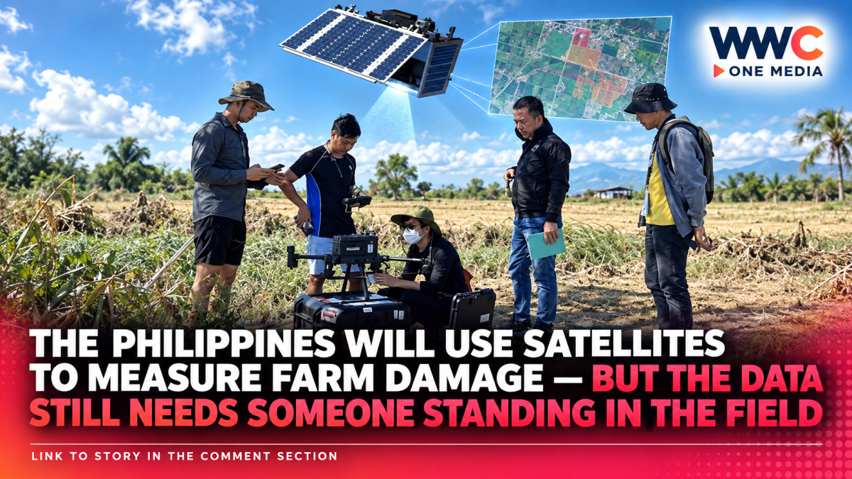
MANILA, Philippines — When the next typhoon floods thousands of hectares of rice fields, the Philippine government wants to know what was damaged before inspectors can physically reach every farm. Its newest tool will be hundreds of kilometers above them.
The Department of Agriculture and the Philippine Space Agency have formalized a five-year partnership to use satellite imagery, Earth-observation data, geospatial technology and artificial intelligence to monitor farms and fishing grounds, assess disaster damage and improve decisions affecting Philippine food production.
Under the agreement, PhilSA will acquire, process and analyze satellite information while the DA will supply agricultural data, send field personnel to verify what the satellites detect and integrate the results into government programs and policies.
Agriculture Secretary Francisco Tiu Laurel Jr. described the challenge in simple terms:
A satellite can identify flooding from space.
A farmer on the ground experiences the destroyed harvest.
The government’s task is to connect those two views quickly enough for the information to become useful.
That could eventually change one of the most difficult parts of Philippine disaster response: figuring out how much agriculture has actually been destroyed while roads remain flooded, communications are disrupted and local officials are still trying to reach affected communities.
But satellites will not replace farm inspectors.
They are intended to help government decide where inspectors should look first, how large the affected area may be and how conditions are changing before every field can be visited physically.
The deal is much bigger than taking pictures of flooded farms
The partnership covers several agricultural applications.
The DA and PhilSA plan to use remote sensing and geospatial information to:
monitor crop conditions,
map floods and dry spells,
evaluate irrigation resources,
forecast harvests,
identify areas vulnerable to agricultural damage,
track pest outbreaks,
analyze soil conditions,
and help identify potential fishing and aquaculture areas.
That turns satellite data into something closer to an agricultural management system rather than simply an emergency-response tool.
The same information that shows a flooded rice field after a typhoon can potentially help planners understand whether an area repeatedly accumulates excess water.
The same imagery used to monitor drought can help determine where irrigation infrastructure is most urgently needed.
And information on vegetation health can potentially reveal changes in crops before field reports arrive.
The agreement also calls for agencies to share maps and datasets covering agricultural production, hazards and disaster impacts.
Each side will generally finance its own participation unless separate agreements provide otherwise, according to details reported on the partnership.
Why damage assessment takes time now
Philippine agricultural disaster estimates are routinely described as preliminary in the days immediately after storms.
There is a reason.
Regional agricultural offices must gather reports from provinces, municipalities and individual farming areas.
Inspectors may need to determine:
how many hectares were flooded,
what crop was planted,
what stage of growth it had reached,
whether the crop can still recover,
how much production was lost,
and what the estimated peso value of that loss should be.
Bad weather can make those tasks harder precisely when rapid information is most valuable.
After Tropical Cyclones Luis and Maymay and an enhanced southwest monsoon hit parts of the country in August 2026, the DA initially reported ₱135.3 million in agricultural losses involving 6,010 farmers and 4,516 hectares.
The department specifically warned that the number was not final because assessment and validation were continuing as conditions improved.
That pattern is common after major disasters.
An early damage estimate can rise substantially as government teams gain access to more areas.
Satellite imagery cannot assign the final peso value automatically, but it can give authorities a much faster picture of the geographic scale of the problem.
PhilSA has already demonstrated that it can map floods through clouds
The technology is not theoretical.
After heavy rains from the southwest monsoon in late August, PhilSA generated 71 flood-extent maps covering parts of the Ilocos Region, Cagayan Valley, Central Luzon, CALABARZON, MIMAROPA, the Cordillera Administrative Region and Metro Manila.
The agency used Sentinel-1 Synthetic Aperture Radar, or SAR, satellite imagery, with artificial intelligence assisting detection of flooded areas.
Radar is particularly useful during disasters because it can observe the Earth’s surface through cloud cover and regardless of daylight, unlike conventional optical imagery that may be blocked by the same storm clouds causing the flooding.
That is particularly valuable in the Philippines.
A satellite image that depends on clear skies is far less useful if the area being monitored remains covered by thick clouds for days during a typhoon.
SAR offers another way to see the ground.
But the technology has limits.
PhilSA warns that radar can underestimate flooding in heavily vegetated or urban areas because complex surfaces affect the signal measured by the satellite.
That is one reason the agency explicitly labels the maps as subject to ground validation.
Ground truthing is the part satellites cannot skip
That limitation explains one of the most important provisions of the DA-PhilSA agreement.
The Agriculture Department will deploy field personnel across the country to verify satellite observations.
Tiu Laurel has stressed that regardless of how sophisticated satellite systems become, someone still needs to confirm that what appears to be agricultural land in the data actually corresponds with conditions experienced by farmers.
Remote sensing can tell analysts that vegetation has disappeared or an area is covered by water.
It cannot always determine, without supporting data, exactly what crop was planted, who owns the farm, whether a plant will recover or how much money a farmer actually lost.
That combination is known as ground truthing.
Satellite observations provide the wide-area view.
Field teams supply local confirmation.
When both agree, government can have much greater confidence in its assessment.
This partnership did not start from zero
DA and PhilSA have been testing agricultural space applications for several years.
In February 2024, PhilSA and the DA’s Bureau of Agricultural and Fisheries Engineering launched DigitalAgri Phase I.
The project used satellite technology to monitor farm-to-market roads and agricultural commodities, initially focusing on corn and onion in Nueva Ecija.
Researchers used very-high-resolution satellite imagery for crop mapping and infrastructure monitoring.
The project examined road types and accessibility and explored applications including:
crop-stage monitoring,
plant health,
yield prediction,
pest and disease detection,
and land-use mapping.
PhilSA’s 2025 annual report said Phase I demonstrated practical use of space technology for both agricultural infrastructure and commodity monitoring.
The new five-year agreement effectively takes that idea much further.
Instead of being limited to one pilot project and selected crops, the goal is to make Earth-observation information part of wider DA operations.
Rice already has its own satellite-monitoring system
The Philippines also has years of experience using satellite information specifically for rice.
The Philippine Rice Information System, or PRiSM, operated with DA-PhilRice, uses satellite imagery and digital technologies to generate information on:
rice-planted areas,
estimated yields,
and fields exposed to floods and drought.
In December 2024, PhilSA and PhilRice signed another agreement to develop rice-specific drought maps by combining satellite observations with field information.
PhilSA said that project built on more than a decade of work on drought and crop assessment.
That history is important.
The new DA-PhilSA agreement is less about introducing satellites to Philippine agriculture for the first time and more about moving several existing experiments toward a wider, integrated government system.
Agriculture Secretary wants satellites to help save floodwater too
The program is not limited to measuring destruction after disasters.
During a July strategy meeting with PhilSA, Tiu Laurel asked the agency to help map where floodwaters naturally move and accumulate.
The idea is to identify locations where excess rainfall might eventually be captured and stored rather than allowed to flow immediately into rivers and out to sea.
That water could potentially support irrigation during dry periods.
It is an example of how the same satellite dataset can be used in two opposite weather extremes.
During the wet season, planners want to know where too much water is going.
During drought, farmers want to know where that water can be stored and reused.
Satellite mapping could help connect the two problems.
Insurance could be another major beneficiary — but the systems are separate
Faster and more objective crop-damage information could also complement changes already happening inside the Philippine Crop Insurance Corp.
PCIC launched a parametric insurance initiative in 2025 designed to speed payouts for rice farmers affected by extreme weather.
Unlike traditional insurance, which may require physical inspection of every damaged farm before compensation is calculated, parametric coverage can trigger payouts when predefined measurable conditions are reached.
PCIC said its system combines georeferenced farm information with satellite imagery to confirm crops and uses measurements such as typhoon wind velocity as part of the payout mechanism.
The DA-PhilSA agreement does not mean every satellite image will automatically generate an insurance payment.
PCIC operates its own insurance processes.
But improved agricultural maps and verified farm data could ultimately strengthen the wider data ecosystem used for insurance, disaster assistance and credit.
That matters because speed after a disaster can determine whether a farmer is able to plant again for the next season.
Nearly 25,000 farmers recently qualified for ₱187 million in insurance payments
The scale of that challenge can be seen in recent PCIC figures.
Following flooding and damage associated with three tropical cyclones and the southwest monsoon in August, PCIC set aside around ₱187 million for insurance payments to 24,987 farmers across eight regions.
Rice accounted for about ₱132.9 million of the estimated claims.
When tens of thousands of farms are involved, inspecting every field individually can become a major logistical exercise.
Satellite-assisted monitoring offers government a way to prioritize.
It may help identify where the worst flooding occurred, which production zones overlap those flood footprints and where inspectors need to go first.
That does not eliminate human verification.
It potentially makes human verification more efficient.
Recent disasters show why faster numbers matter
Philippine agriculture remains highly exposed to extreme weather.
The DA notes that the country is affected by around 20 tropical cyclones each year, with agriculture and fisheries among the sectors repeatedly exposed to damage.
The effect can be enormous.
In July 2025, three tropical storms combined with the southwest monsoon caused agricultural losses that initially reached ₱1.12 billion, affecting more than 45,000 farmers and fisherfolk and 43,741 hectares of farmland.
Rice accounted for most of the affected area.
Later that year, the final estimate of agricultural damage from Super Typhoon Uwan alone reached about ₱14.12 billion, affecting more than 254,000 farmers and approximately 180,000 hectares, according to DA-linked reporting.
And the weather problem has continued in 2026.
PAGASA reported that the combination of tropical cyclones and the southwest monsoon during August produced more than ₱2.2 billion in agricultural damage, alongside widespread flooding in several regions.
When losses can change by billions of pesos as additional areas are assessed, the speed and accuracy of information have obvious policy consequences.
Faster damage maps can affect where government sends money
Government disaster assistance depends heavily on knowing who was affected and how badly.
DA recovery programs can include seeds, planting materials, livestock assistance, credit and insurance payments.
After major weather disasters in September 2025, the department mobilized:
palay seeds,
corn seeds,
vegetable seeds,
fish fingerlings,
livestock medicines,
zero-interest Survival and Recovery loans,
and crop-insurance compensation.
Deciding where those resources should go requires damage data.
If one municipality has 500 partially damaged hectares and another has 5,000 hectares completely submerged, government needs to distinguish between them quickly.
Satellite information could provide the first broad map before detailed local reports are complete.
It could also provide an independent layer of evidence against which field submissions can be checked.
Satellites could also make harvest forecasts more precise
Disaster response is only one application.
The five-year collaboration also covers yield forecasting.
Knowing how much rice, corn or another commodity is likely to be harvested matters for decisions on imports, food inventories and price management.
A satellite can repeatedly observe large production areas and detect changes in vegetation over time.
When those observations are combined with information on planting dates, crop variety, rainfall and field samples, analysts can estimate what areas are planted and how crops are developing.
The Philippines already uses this approach in rice through PRiSM.
Extending similar capabilities to more crops could give policymakers another source of information when deciding whether the country is facing a surplus, normal harvest or potential shortage.
That will not eliminate forecasting errors.
But it can reduce reliance on reports assembled entirely through local administrative channels.
Pest outbreaks may become visible before they spread farther
The agreement also includes exploring satellite applications for pest monitoring.
Not every pest can be identified directly from orbit.
But widespread crop stress can change a plant canopy’s color, density, moisture or reflectance in ways that sensors can detect.
Those changes could help officials identify unusual areas that deserve closer investigation.
Again, satellites would function as an early-warning filter, not a replacement for plant pathologists or agricultural technicians.
An abnormal patch in a satellite image might be caused by pests.
It could also reflect drought, disease, nutrient problems or something else entirely.
Field inspection would determine the cause.
The advantage is knowing where to look.
Fisheries are part of the five-year plan too
The partnership extends beyond land agriculture.
DA and PhilSA also intend to use satellite information to support fisheries and aquaculture planning.
Space-based observations can help monitor ocean conditions, coastlines, water bodies and environmental variables relevant to potential fishing or aquaculture locations.
For an archipelagic country with thousands of islands and an enormous marine area, that could be particularly useful.
The fisheries sector faces the same fundamental monitoring problem as agriculture:
government cannot have personnel physically observing every location at once.
Satellites provide broad geographic coverage.
Local agencies and fishing communities provide verification.
Even farm-to-market roads can be checked from space
One of the less obvious applications involves infrastructure.
DigitalAgri has already demonstrated satellite monitoring of farm-to-market roads, including their location, type and accessibility.
That could help government identify whether roads exist where records say they exist and whether routes remain accessible after disasters.
PhilSA has also worked separately with the Department of Budget and Management on satellite-based monitoring of publicly funded infrastructure through the Digital Information for Monitoring and Evaluation project.
That initiative specifically cited farm-to-market roads among the types of projects space imagery could help check.
The technology therefore has a governance application alongside its agricultural one.
Satellite images can help answer not only what happened to a farm, but also whether infrastructure designed to serve that farm is actually there and usable.
Satellite data are getting cheaper and easier to combine with AI
Another reason the program is becoming practical now is the amount of Earth-observation data available.
Government no longer needs to own every satellite whose images it uses.
PhilSA works with data from international Earth-observation missions as well as commercial sources.
Its recent flood maps, for example, used imagery from Europe’s Sentinel-1 radar satellites.
Artificial intelligence can then help analysts process huge areas faster than a human could by manually examining each image.
AI-assisted systems can flag likely flooded pixels, crop areas or changes in land conditions.
But automation does not remove uncertainty.
Clouds, tree cover, buildings, crop similarities and sensor limitations can all affect the interpretation.
That is why the DA-PhilSA model deliberately combines technology with field validation rather than presenting AI as a replacement for agricultural expertise.
The bigger shift is from reacting to disasters to anticipating them
For decades, agricultural disaster management has often followed a predictable sequence.
A storm arrives.
Farms flood.
Local governments report losses.
Inspectors visit affected communities.
Government calculates damage.
Aid follows.
Satellite systems offer the possibility of moving part of that process earlier.
Government can monitor rainfall and soil moisture.
It can see flood extent while water is still present.
It can compare affected areas with crop maps.
It can identify which production zones are at risk.
And over time it can study which places flood or dry out repeatedly.
That turns Earth observation from an emergency tool into a planning tool.
The distinction matters because rebuilding after every disaster is far more expensive than identifying vulnerabilities before the next one.
But better maps will matter only if government acts on them
The five-year agreement gives DA access to more sophisticated information.
It does not automatically solve agricultural losses.
A flood map cannot repair an irrigation canal.
A drought map does not create a reservoir.
A satellite cannot hand a farmer replacement seed.
And a yield forecast cannot by itself prevent food prices from rising.
The practical value comes from what agencies do after receiving the information.
If satellite data allow DA to validate damage faster, assistance could be targeted sooner.
If flood mapping identifies recurring water pathways, engineers could potentially design better irrigation and retention infrastructure.
If crop health deteriorates unexpectedly, agricultural technicians can investigate before losses become larger.
And if harvest forecasts become more reliable, food-policy decisions can be made with better information.
That is the real promise of the DA-PhilSA agreement.
The view from space is fast. The truth still has to be checked on Earth.
PhilSA can observe hundreds or thousands of square kilometers in one satellite pass.
No team of farm inspectors can match that geographic reach.
But an image from orbit does not know the farmer’s name.
It does not know exactly how much that farmer invested.
And it cannot always determine whether a crop that looks damaged today will recover next week.
That is why the most important part of the agreement may not be the satellites themselves.
It is the decision to systematically combine space-based observation with nationwide ground validation.
The Philippines already has satellite flood maps.
It already has satellite-based rice monitoring.
It already has drought-mapping projects and remote-sensing insurance experiments.
The next five years are about connecting those capabilities into something government can use routinely across agriculture.
The goal is not to replace the person standing in the rice field.
It is to make sure that before that person reports what happened, the government already has a much better idea of where to look.




Leave a Reply