
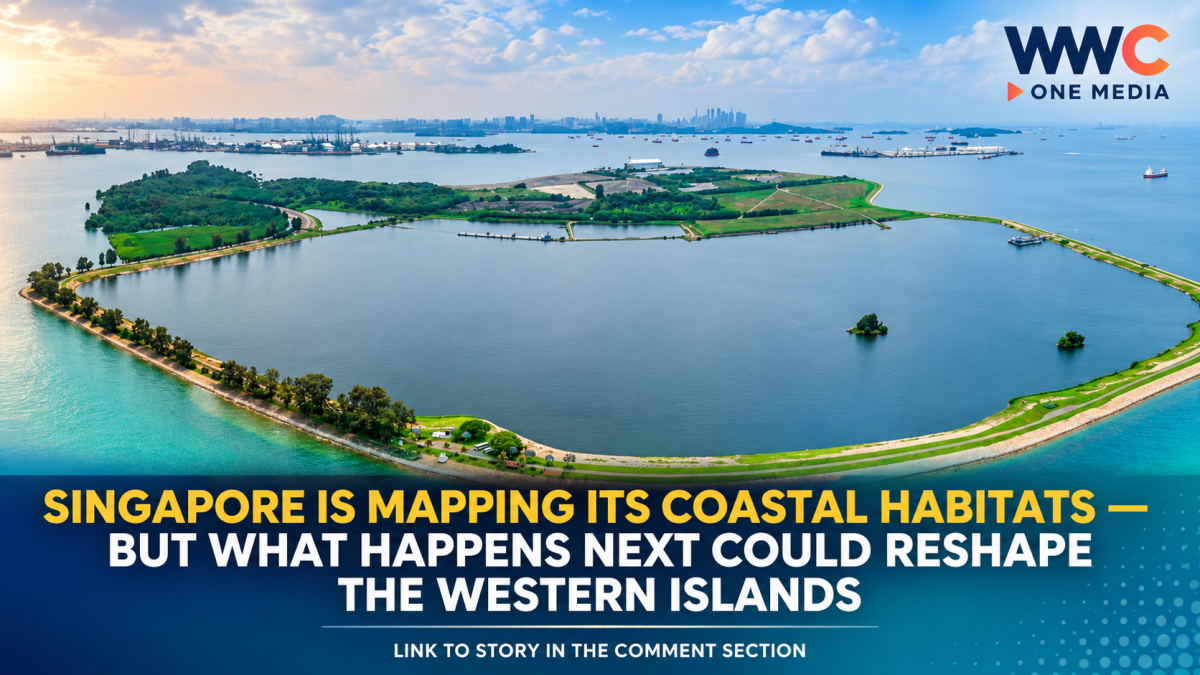
SINGAPORE — Singapore is undertaking a nationwide study to map changes to its coastal and marine habitats, including areas around the western islands being considered for a future large-scale development project.
The National Parks Board (NParks) launched a tender on Aug. 25 for a project titled “Mapping of the Extent of Coastal and Marine Habitats and Coastline Types in Singapore.” The study will examine how Singapore’s coastal and marine environments have changed between 2011 and 2026, according to government procurement documents.
The timing has drawn attention because the mapping exercise comes shortly after Prime Minister Lawrence Wong announced during the 2026 National Day Rally that Singapore is studying the possibility of merging several southern islands into a larger western island to create space for future industries and power-generation needs.
However, authorities have stressed that the NParks study is part of its ongoing efforts to understand Singapore’s marine environment and is not, by itself, an approval for reclamation.
What exactly is NParks studying?
The nationwide study covers the coastline of mainland Singapore as well as its offshore islands and reefs, with the exception of marine waters around Pedra Branca.
NParks said the work will build on earlier Coastal and Marine Habitat Maps produced in 2011 and 2018, allowing researchers to quantify changes recorded over the years.
Potential “ground-truthing” locations include Chek Jawa on Pulau Ubin and Pulau Semakau. Ground-truthing involves comparing information obtained from sources such as satellite imagery with observations collected on the ground.
NParks said the resulting geospatial dataset will be made publicly available.
The agency also said the updated information will support seaspace planning, conservation planning and marine research, including work under its Marine Climate Change Science Programme.
Why the western islands are attracting attention
The study comes at a particularly significant moment for Singapore’s southern waters.
At the National Day Rally on Aug. 23, Prime Minister Wong said several western and southern islands — including Pulau Semakau, Pulau Bukom and Pulau Sudong — could potentially be brought together to form a larger western island over the longer term.
The proposed development is intended to give Singapore additional space for future industrial activities and energy infrastructure.
The government has not presented the project as an immediate construction programme. Detailed technical work, feasibility studies, site investigations, engineering studies and environmental assessments are expected to inform future decisions.
That distinction matters because the waters surrounding the islands contain marine ecosystems that conservationists say are particularly valuable in a highly urbanised country.
Marine groups warn of potential biodiversity losses
Local marine advocates and divers have raised concerns about the possible impact of reclamation on Singapore’s southern marine environment.
Researchers have highlighted coral reefs, seagrass meadows, intertidal habitats and other ecosystems around the southern islands.
Marine biologists told CNA that parts of the area represent a substantial portion of Singapore’s remaining southern marine habitats. Some reefs have also remained comparatively undisturbed because access to certain offshore areas has historically been restricted.
The concern is not limited to the precise footprint of any future reclamation.
Environmental changes can extend beyond construction boundaries. Reclamation can alter coastlines, sediment movement and water conditions, while increased turbidity can potentially affect marine organisms and habitats farther from the construction zone.
The Straits Times likewise reported that scientists and nature groups have warned about potentially irreversible impacts on marine biodiversity, including coral reefs that have developed over thousands of years.
Pulau Hantu and the wider marine network
One location receiving particular attention is Pulau Hantu, a well-known local diving destination situated near the islands being considered for future development.
The waters around Pulau Hantu support a range of marine life, including reef fish, seahorses, nudibranchs, octopuses and other species.
Dive operators have expressed concern that future reclamation could affect water quality, sedimentation, underwater visibility and access to popular diving areas.
Marine conservation advocates have also stressed that individual islands and reefs should not necessarily be viewed as isolated ecosystems.
Some researchers describe the southern waters as an interconnected network in which reefs and other habitats can contribute to the wider ecological health of surrounding areas.
Singapore has reclaimed land before — but the environmental question is changing
Land reclamation has played a major role in Singapore’s development.
According to CNA’s recent explainer, reclaimed land now accounts for roughly 28 per cent of Singapore’s total land area, following decades of projects that expanded the country’s usable territory.
The upcoming western island proposal would therefore represent another chapter in Singapore’s long history of using reclamation to address its severe land constraints.
But reclamation technology and environmental considerations are evolving.
Singapore has increasingly examined alternative approaches to conventional sand-based reclamation. CNA reported that the country has also used empoldering, including for the large-scale reclamation project at Pulau Tekong, while researchers and engineers continue to examine methods that could reduce environmental impacts.
The government says environmental studies will come first
The Ministry of National Development has said it recognises the biodiversity value of the western islands and surrounding waters.
The ministry said technical studies will be carried out before development decisions are made, including feasibility studies, site investigations and surveys, as well as engineering and environmental studies.
Authorities have also said stakeholders will be engaged early in the planning process.
That commitment has become an important part of the debate, with environmental groups and marine experts calling for meaningful participation before major decisions become difficult to reverse.
A bigger question for Singapore
The latest NParks mapping exercise could provide an important baseline for understanding how Singapore’s marine environment has changed over the past 15 years.
It may also help authorities determine which habitats are most sensitive and where potential environmental impacts could be avoided, reduced or mitigated if future development proceeds.
For conservation advocates, however, the bigger issue goes beyond a single reclamation project.
Singapore has limited land and faces long-term requirements for housing, industry, energy infrastructure and coastal protection. At the same time, its remaining natural habitats are increasingly fragmented.
The proposed western island could therefore become a major test of how Singapore balances economic development, energy security, land constraints and marine conservation.
For now, no final reclamation design has been announced.
But with NParks now updating the country’s coastal and marine habitat map — and with technical studies expected to shape the western island proposal — the information gathered today could play an important role in determining what Singapore’s southern waters look like decades from now.
And that is what makes the latest mapping exercise significant: before Singapore decides what it wants to build at sea, it is taking a closer look at what is already there.




Leave a Reply