
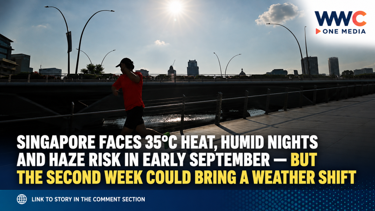
SINGAPORE — Singapore is heading into the first half of September with little relief from the hot, dry conditions that dominated much of August, as forecasters warn of temperatures above 35°C on some days, unusually warm nights and a renewed risk of transboundary haze.
The Meteorological Service Singapore (MSS) said on Sept. 1 that Southwest Monsoon conditions will continue across Singapore and the surrounding region during the first fortnight of September, with winds blowing mainly from the southeast or southwest.
Most days, particularly during the first week, are expected to be fair and occasionally windy. Rain is not disappearing altogether, but any relief could be brief: localised, short-duration thunderstorms may develop over parts of the island during the late morning or afternoon on a few days.
More importantly, total rainfall for the first two weeks of September is forecast to remain below average across most of Singapore.
Singapore temperatures could climb above 35°C
The heat will likely be one of the most noticeable parts of the September weather.
MSS expects daily maximum temperatures to generally reach 33°C to 35°C, with temperatures potentially edging above 35°C on several days.
The nights may offer limited relief. Minimum temperatures are forecast to remain above 27°C on most nights, creating the warm and humid conditions familiar to residents during prolonged dry spells.
For comparison, Singapore’s long-term September climate statistics from 1991 to 2020 show an average daily maximum of 31.6°C and average daily minimum of 25.2°C. September normally records about 124.9mm of rainfall across 13 rain days.
That means the temperatures forecast for early September are notably higher than Singapore’s historical September averages, although individual hot days should not be confused with a record-breaking monthly temperature.
August already gave Singapore a preview
The forecast follows an exceptionally dry second half of August.
Between Aug. 17 and 31, Singapore saw mostly fair weather, with rainfall well below normal across the island. The Admiralty area recorded rainfall roughly 99 per cent below its long-term average for the period.
Temperatures were also persistently high. Daily maximum temperatures exceeded 34°C on most days, while Seletar reached 35.5°C on Aug. 25.
There were several nights when temperatures failed to fall below 27°C.
One major exception came on Aug. 30, when regional wind convergence triggered moderate to heavy thunderstorms across eastern, southern and central Singapore. Telok Blangah recorded 53.8mm of rainfall, the highest daily total during the second half of August.
But the bigger September concern may be haze
Singapore’s September forecast is not only about heat.
MSS said the hotspot and smoke-haze situation has escalated across the surrounding region, with dense smoke haze observed over southern and central Sumatra and parts of Kalimantan on most days since around Aug. 21.
If fires intensify while southeast or southwest winds continue blowing toward Singapore, the country could experience hazy conditions. That remains a risk rather than a certainty, because whether smoke reaches Singapore depends on factors including the location and intensity of fires and changing wind patterns.
The regional picture remains concerning. Singapore’s haze portal reported on Sept. 1 that scattered to widespread hotspots were being detected across Sumatra and Kalimantan, while moderate to dense smoke plumes were emerging from several hotspot clusters.
Authorities warned that prolonged dry weather could keep regional fire activity elevated and maintain the risk of serious transboundary haze.
The National Environment Agency said it will continue monitoring conditions and will issue daily haze advisories if Singapore’s 24-hour Pollutant Standards Index enters the Unhealthy range of 101 to 200.
El Niño is adding to the dry-weather backdrop
There is another factor behind the heightened attention on this year’s dry season.
MSS confirmed in an Aug. 21 update that El Niño conditions are established, with moderate conditions recorded in July and further strengthening during early August.
The agency expects El Niño to continue through the second half of 2026 and into early 2027, potentially strengthening further around October or November.
El Niño has an especially strong relationship with Singapore rainfall during the Southwest Monsoon months from June through September, with moderate or strong events generally increasing the likelihood of drier conditions.
That does not mean every hot or dry day can be directly blamed on El Niño, but it provides an important wider climate backdrop to Singapore’s unusually dry stretch.
A separate June assessment by the Singapore Institute of International Affairs (SIIA) went further, issuing what it described as a rare “red” outlook for severe transboundary haze risk in Southeast Asia for the remainder of 2026. Its report identified August and September as the peak-risk period, citing hotter and drier conditions among the factors that could encourage vegetation and peat fires.
The SIIA assessment is separate from Singapore government’s official haze alert system, but its timing has become more significant as regional hotspot activity increases.
Could rain finally provide some relief?
There is at least one potential break in the pattern.
MSS expects sporadic showers to become possible during the second week of September. But forecasters currently expect the broader regional environment to remain predominantly dry, meaning several isolated thunderstorms may not be enough to reverse the rainfall deficit or extinguish regional fire activity.
For Singapore, that leaves an uncomfortable combination heading into September: 35°C afternoons, humid nights, limited rainfall and an increasingly active regional fire season.
The showers may return.
The more important question is whether they will arrive often enough — and strongly enough — to change the increasingly dry and hazy picture developing around Singapore.




Leave a Reply