
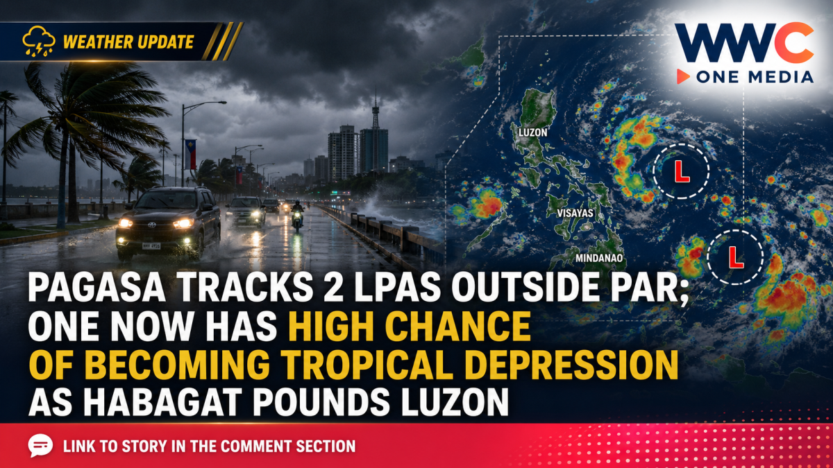
MANILA, Philippines — Two low-pressure areas are being closely monitored by PAGASA, with one weather disturbance now having a high chance of developing into a tropical depression within the next 24 hours, as the southwest monsoon or Habagat continues to dump heavy rain across large parts of Luzon.
The situation developed rapidly on Saturday, August 29, 2026.
An earlier PAGASA update cited by Bombo Radyo Roxas said one LPA was still inside the Philippine Area of Responsibility, or PAR, and had a low probability of becoming a tropical depression, while another system outside PAR carried a medium chance of intensification.
But conditions changed as the day progressed.
By 2 p.m. Saturday, PAGASA was monitoring both low-pressure areas outside PAR. More significantly, one system continued to have a low probability of developing while the other had been upgraded to a high chance of becoming a tropical depression within 24 hours, according to a later report citing the state weather bureau.
That means the bigger concern is no longer simply whether the two LPAs will survive — but how quickly the stronger system could organize into the Philippines’ next tropical cyclone.
LPA Near Batanes Moves Outside PAR
Earlier Saturday morning, the LPA previously monitored inside PAR was estimated at about 520 kilometers north-northeast of Itbayat, Batanes, according to a separate Bombo Radyo weather report.
At that stage, PAGASA assessed the disturbance as having a low chance of becoming a tropical depression within the following 24 hours.
The second LPA, meanwhile, was considerably farther east of Extreme Northern Luzon and initially carried a medium probability of tropical cyclone development.
By later Saturday, however, PAGASA’s assessment showed the more distant weather disturbance had become increasingly organized, prompting the higher development probability.
Even without an immediate Philippine landfall, the systems remain important because they can influence the strength and movement of the Habagat, which has already produced days of dangerous rainfall.
Up to 200 Millimeters of Rain Forecast
The more immediate threat for many communities is heavy monsoon rain.
In Weather Advisory No. 27 issued at 11 a.m. Saturday, PAGASA forecast 100 to 200 millimeters of rainfall from August 29 until noon August 30 over:
Ilocos Sur, Pangasinan, La Union, Benguet, Bataan, Zambales, Tarlac and Pampanga.
Another 50 to 100 millimeters was forecast across Ilocos Norte, Abra, Apayao, Kalinga, Ifugao, Mountain Province, Nueva Vizcaya, Nueva Ecija, Bulacan, Metro Manila, Rizal, Cavite, Laguna, Batangas, Occidental Mindoro and Oriental Mindoro.
PAGASA has warned that prolonged or intense rainfall may trigger flooding, flash floods and rain-induced landslides, particularly in low-lying communities, areas near rivers and mountainous locations already saturated by previous rains.
The weather bureau’s weekend outlook also indicated that a developing system near Extreme Northern Luzon was expected to generally move northwestward, making a direct Philippine landfall less likely, although it could continue enhancing the southwest monsoon.
Habagat Already Taking a Heavy Toll
The latest LPAs are emerging while the Philippines is still dealing with the effects of several previous tropical cyclones and repeated Habagat episodes.
The Office of Civil Defense reported Saturday that the combined effects of tropical cyclones Luis, Maymay and Neneng and the southwest monsoon had affected roughly 8 million people nationwide, with 32 deaths reported in the government’s cumulative situation report.
Those casualties should not be attributed to the two newly monitored LPAs, but they demonstrate how vulnerable many communities have become after repeated rounds of severe weather.
Thousands of residents remained in evacuation centers, while damage to agriculture, homes and infrastructure continued to accumulate.
What Happens Next?
PAGASA’s changing assessment shows why residents should closely follow official updates rather than rely on an earlier weather bulletin throughout the day.
A disturbance categorized as having a “medium” probability of development can strengthen quickly as atmospheric and ocean conditions change.
Should the stronger LPA develop into a tropical depression and eventually enter PAR, PAGASA would assign it a Philippine name in accordance with the country’s tropical cyclone naming system.
For now, the biggest danger to many areas may remain the enhanced Habagat rather than a direct cyclone landfall.
But with one of the two LPAs now carrying a high probability of tropical depression formation, forecasters are watching closely to see whether the system becomes the next organized tropical cyclone near the Philippines — and whether its development could prolong the country’s already dangerous stretch of monsoon weather.




Leave a Reply