
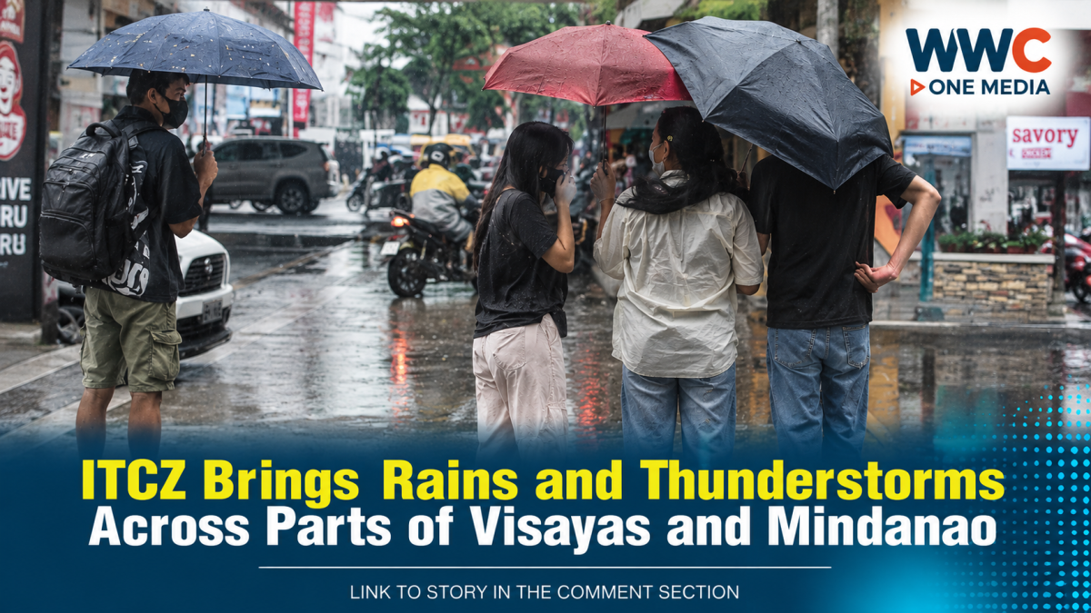
MANILA — Residents across parts of the Visayas and Mindanao should prepare for another wet day as the Intertropical Convergence Zone (ITCZ) continues to influence weather conditions over the two regions on Wednesday, September 16, according to the Philippine Atmospheric, Geophysical and Astronomical Services Administration (PAGASA).
PAGASA forecasts cloudy skies with scattered rains and thunderstorms over the Negros Island Region, Central Visayas, Eastern Visayas, Zamboanga Peninsula, Northern Mindanao, Caraga, Masbate, Lanao del Sur and Davao Oriental.
The rest of the Visayas and Mindanao may experience partly cloudy to cloudy skies with isolated rain showers or thunderstorms.
Flash floods and landslides possible
The weather bureau warned that moderate to at times heavy rainfall could trigger flash floods or landslides, particularly in areas affected by stronger thunderstorms.
Residents in flood-prone and landslide-prone communities are advised to remain alert for local weather advisories as conditions can change quickly during thunderstorms.
PAGASA’s regional forecasts were already reporting thunderstorms in portions of Cebu, Leyte, Samar, Bohol and Southern Leyte early Wednesday morning, with some areas experiencing moderate to heavy rain, lightning and strong winds.
ITCZ is the main weather system
The ITCZ is a zone near the equator where trade winds from the Northern and Southern Hemispheres converge. Its movement can produce extensive cloud formation, rain showers and thunderstorms.
PAGASA has identified the ITCZ as the main weather system affecting the Visayas and Mindanao in Wednesday’s forecast.
GMA News also reported that the country is currently experiencing a monsoon break, meaning the Southwest Monsoon or Habagat has temporarily weakened.
Tropical depression remains outside PAR
Meanwhile, PAGASA is monitoring a tropical depression outside the Philippine Area of Responsibility (PAR).
As of early Wednesday, the system was located far east of southeastern Luzon and had maximum sustained winds of 55 kilometers per hour, with gustiness of up to 70 kph.
The system is separate from the ITCZ-driven rainfall currently affecting the Visayas and Mindanao.
More rain expected through the week
PAGASA’s weekly outlook indicates that weather conditions will remain unsettled in parts of the country through September 18.
The agency says the Southwest Monsoon will prevail over western sections of the Visayas and Mindanao, bringing cloudy skies with scattered rains and thunderstorms over areas including the Zamboanga Peninsula, Northern Mindanao, BARMM, Western Visayas and the Negros Island Region.
Meanwhile, Metro Manila and much of Luzon are generally expected to experience partly cloudy to cloudy conditions with isolated rain showers or thunderstorms associated with localized thunderstorms.
Weather could change quickly
The latest forecast does not mean every location in the Visayas and Mindanao will experience continuous rain.
Instead, rainfall will vary by location, with some communities experiencing isolated showers while others could see heavier thunderstorms. PAGASA’s thunderstorm advisories underscore how quickly conditions can intensify in affected areas.
For commuters, travelers and communities in low-lying or mountainous areas, the possibility of sudden heavy rain means localized flooding and landslides remain important hazards to monitor.
With the ITCZ continuing to influence the southern and central Philippines, the weather story is far from over. The next round of PAGASA advisories could determine which areas see the heaviest rain as the system continues to affect the region.
WWC ONE MEDIA G.A




Leave a Reply