
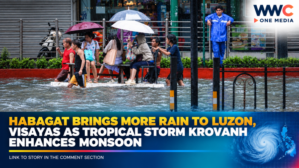
MANILA, Philippines — Rainy weather is set to continue across large parts of Luzon and portions of the Visayas on Monday, September 7, as the southwest monsoon, or habagat, remains the dominant weather system affecting the country.
The Philippine Atmospheric, Geophysical and Astronomical Services Administration (PAGASA) said occasional rains are expected over Zambales, Bataan, Batangas and Occidental Mindoro, while Metro Manila and several other areas will experience cloudy skies, scattered rain showers and thunderstorms.
PAGASA warned that moderate to heavy rainfall could trigger localized flooding and landslides, particularly in low-lying, urbanized and landslide-prone communities.
These areas could see more rain
Aside from the four provinces expected to receive occasional rains, scattered rain showers and thunderstorms are forecast over Metro Manila, the Ilocos Region, Central Luzon, CALABARZON, MIMAROPA, Abra and Benguet, as well as Antique in the Visayas.
The rest of Luzon and much of the Visayas may experience isolated rain showers or thunderstorms, while Mindanao is expected to see isolated thunderstorms caused by localized weather conditions.
The latest PAGASA forecast issued at 4 a.m. Monday lists the Southwest Monsoon as affecting Luzon and the Visayas.
Tropical Storm Krovanh is part of the weather picture
Adding to the monsoon activity is Tropical Storm Krovanh, which was previously called Pilandok while inside the Philippine monitoring area.
As of 3 a.m. Monday, PAGASA placed Krovanh about 1,155 kilometers east-northeast of extreme Northern Luzon, with maximum sustained winds of 65 kilometers per hour and gustiness of up to 80 kph. The storm was moving eastward at 10 kph and remained outside the Philippine Area of Responsibility.
Importantly, PAGASA does not expect Krovanh to directly affect the country’s land areas. Its significance for the Philippines is that the storm is helping enhance the southwest monsoon, increasing the potential for rain over parts of Luzon and the Visayas.
Flooding and landslide risks remain
The combination of persistent monsoon moisture and thunderstorms means residents should not judge the danger simply by how light the rain appears at the beginning of the day.
PAGASA specifically identified Zambales, Bataan, Batangas and Occidental Mindoro as areas where moderate to heavy rainfall could produce localized flooding and landslides.
This is particularly important for communities near rivers, waterways, steep slopes and areas that have already received significant rainfall in recent days.
The habagat is not disappearing yet
Monday’s weather is part of a broader monsoon pattern rather than a one-day rain event.
PAGASA has previously said the southwest monsoon is expected to continue through much of September, although rainfall is generally expected to be less intense than during the wetter periods experienced in previous weeks. The agency also warned that significant rainfall events remain possible during the habagat season.
The latest reports from Inquirer and GMA News likewise confirm that the habagat will continue affecting parts of Luzon and the Visayas, with the weather system expected to persist into the coming days.
What residents should watch
For residents in affected areas, PAGASA’s warnings mean that localized conditions can change quickly, particularly during thunderstorms.
Those living in flood-prone or landslide-prone locations should monitor official PAGASA bulletins and instructions from local disaster authorities. Motorists should also be prepared for sudden reductions in visibility and slower traffic during heavy downpours.
For Monday, the key concern is not a direct landfall from Krovanh but the continued strengthening influence of the habagat, which could keep rain clouds moving over already vulnerable portions of Luzon and the Visayas.
And with the monsoon expected to remain active, the bigger question may be how much more rain affected communities will have to absorb before conditions finally ease.




Leave a Reply